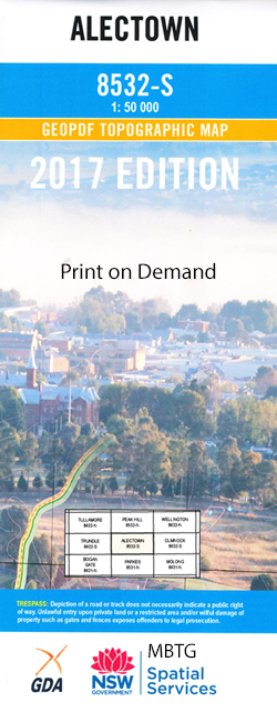
Alectown 1-50000 NSW Topographic Map
$16.95 – $31.95
Description:
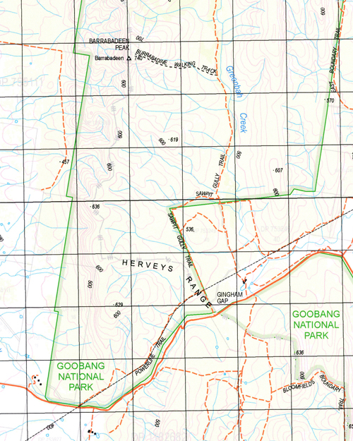
Alectown 8532-S 1-50,000 scale NSW Topographical map is used for Walking, 4WD, Fishing, Camping, Motorcycle, both On and Off Road, Gold Prospecting and for those simply going for a family weekend drive.
Topographical maps show not only Contours of the Terrain but also Walking Tracks, Sealed and Unsealed Roads, Rivers, Creeks, Lakes, Historical Point of Interest, Old Mine Sites and National and State Park areas.
 We can Now LAMINATE and fold your map for $12.00. Just click on the image and add to the Trolley
NOW AVAILABLE PRINT ON DEMAND
Locations within this Map
Genanaguy Kadina Rocky Ponds Grey West Derrymore Wancurra Woodlands Killare Eurona The Bachelor Lead Bachelor Lead Creek Bachelors Dam Village of Alectown Alectown Alectown Dam Alectown Public School Baldry Baldry Public School Barrabadeen Barrabadeen Peak Belardery Boldry Budgebegambil Creek Budgebegombil Creek Clear Ground Dam Cookamobil Creek Cookamobil Ridge Cookopie Creek Coradgery Curumbenya Curumbenya Range Davison Dead Bird Lead Creek Deception Creek Deep Creek Emu Swamp Fifteen Mile Waterhole Gingham Gap Goobang Goonumbla Goonumbla Creek Goonumbla Hill Goonumbla Tank Gospers Creek Hallinans Creek Houston Hyandra Kadina Creek Cookamobil Range Cookopie Ponds Creek Coonumbla Creek The Dead Bird Head Forky Dam Goolangoglan Dam Village of Goonumbla Goonumbla Water Hole Hallimans Creek The Leaky Dam Limestone Limestone National Forest Limestone State Forest Limestone Tank Live Bird Lead Mickibri Mickibri Dam Middle Arm Creek Milpose Mingelo Motherly Dam New Motherly Dam Poor Mans Gully Ridge Dam Stanfords Creek Tenandra Creek Tenandra Plain Village of Trewilga Trig. Hill Tuckelbri Tuckwells Creek Very Deep Creek Weridgery Wombin Wombin State Forest Burrandong Creek Burrandong Dam Burrandong or Rocky Waterhole Creek Burrandong or Rocky Water Hole Creek Burrill Trewilga Railway Station Alectown West Railway Station Goonumbla Railway Station Mickibri Platform Goobang National Park Trewilga Ten Mile Creek Burrill Creek Bogan River Croyden Timalldrie Creek Mickibri Station Mickibiri Station Herveys Range Rocky Ponds Creek Brays Mountain Cookopie Tank Hyandra Creek Alectown West Limestone Plains Creek
| Name: | Alectown |
| Publisher: | New South Wales Government |
| Scale: | 1:50000 |
| Latitude Range: | 32° 45.0′ S – 33° 00.0′ S |
| Longitude Range: | 148° 0.0′ E – 148° 30.0′ E |
| Datum: | GDA 94 |


