Avon River 1-25,000 NSW Topographic Map
$16.95 – $31.95
Description:
9029-3-S Print on Demand
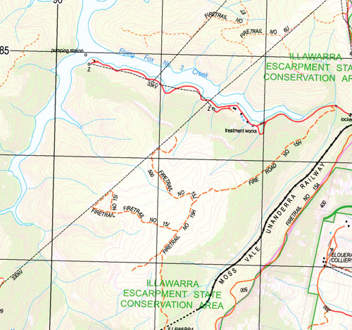
Avon River 90293s 1-25,000 scale NSW Topographical map is usedfor Walking, 4WD, Fishing, Camping, Motorcycle, both On and Off Road, GoldProspecting and for those simply going for a family weekend drive.
Topographicalmaps show not only Contours of the Terrain but also Walking Tracks, Sealed andUnsealed Roads, Rivers, Creeks, Lakes, Historical Point of Interest, Old MineSites and National and State Park areas.
 Laminate and folded this NSW Topographical map, $12.00 see below.
This map includes the following localities: Alpine Avon River Avon Storage Reservoir Lake Avon Bellbird Creek Bell Bird Creek Bong Bong Pass Broken Cup Rock Browns Road Chain of Ponds Creek Chain of Ponds Crossing Chalkers Crossing Colo Cotopaxi Mount Cotopaxi Crooked Creek Cupitts Forest Explorers Creek Flying Fox Flying Fox No 1 Creek Flying Fox No 2 Creek Flying Fox No 3 Creek Forest Hill Gallahers Creek Hambridge Hambridge Creek Izards Knob Catherine Hill Chain of Ponds Coots Hill Eastern Branch of Burke River Flying Fox No 1 Flying Fox No 2 Flying Fox No 3 Gallahers River Katerines Hill Katherines Hill Katrines Hill Keighrans Hill Larkin Larkins Lindsey Mount Lindsey Little Burke River Little Forest Lizards Knob Long Wills Hill Mcguires Creek Mcguires Crossing Mittagong Mount Rorison Native Dog Creek Nemma One Tree Hill Pats Flat Pearsons Selection Mount Roroson Sherwin Shingle Tree Hill Single Tree Hill Swingle Tree Hill The Little River The Racecourse Wodi Wodi Wombat Creek Wongawilli Diggers Creek Dudewaugh Creek Burke Mount Burke Burke River Avon Huntley
| Scale: | 1:25000 |
| Latitude Range: | 34 22.5 S – 34 30.0 S |
| Longitude Range: | 150 30.0 E – 150 45.0 E |
| Approx Print Size: | 0.56m X 1.11m |
| Projection: | Transverse Mercator |


