
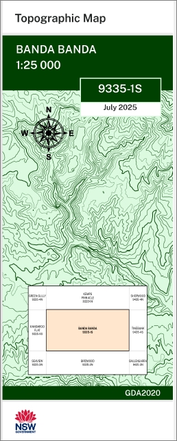

Banda Banda 1-25,000 NSW Topographic Map 9335-1-S
Price range: $16.95 through $28.95
Description:
Banda Banda 1-25,000 NSW Topographic Map 9335-1-S
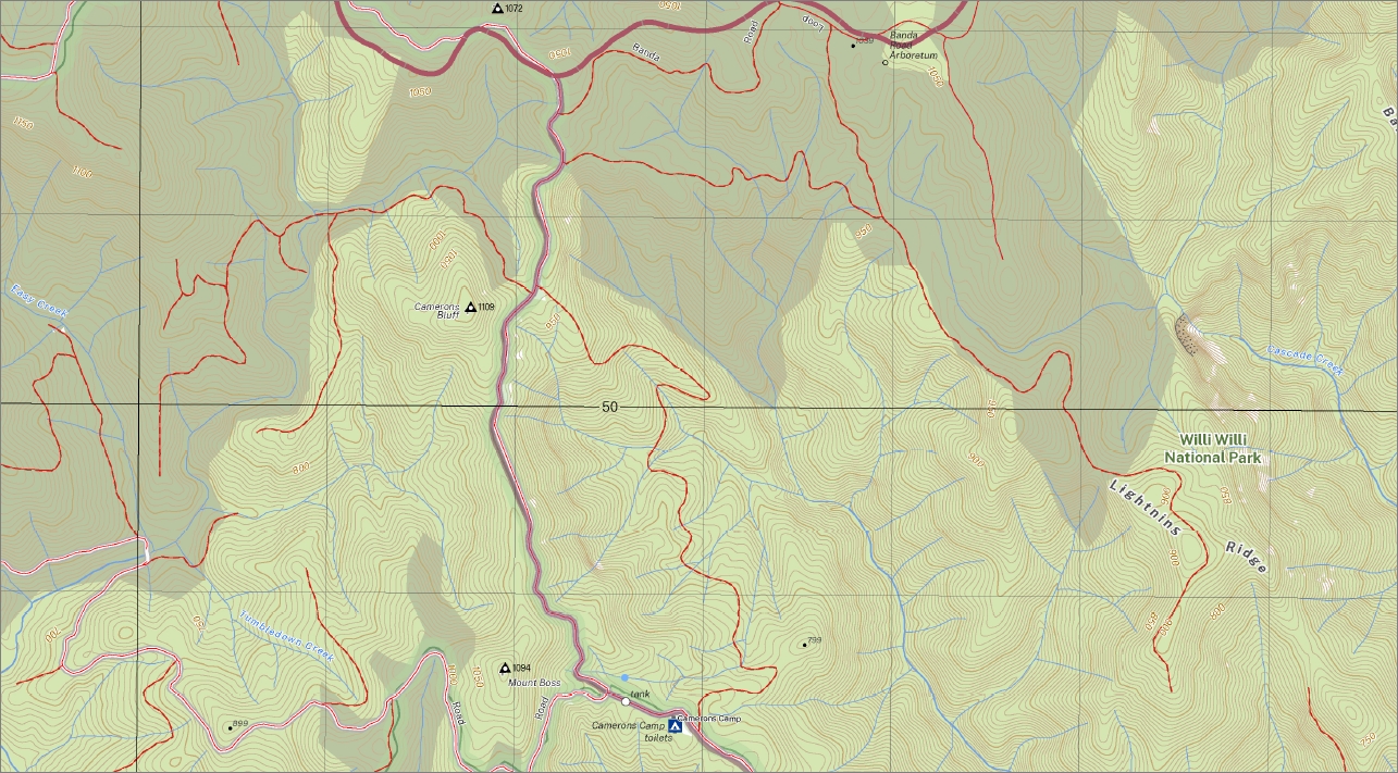
Banda Banda 1-25,000 scale NSW Topographical map is used for Walking, 4WD, Fishing, Camping, Motorcycle, both On and Off Road, Gold Prospecting and for those simply going for a family weekend drive.
Topographical maps show not only Contours of the Terrain but also Walking Tracks, Sealed and Unsealed Roads, Rivers, Creeks, Lakes, Historical Point of Interest, Old Mine Sites mbtg and National and State Park areas.
This map includes the following localities: Abbotsmith Range Abbotsmith Ridge Banda Banda Mount Banda Banda Banda Creek Banda Ridge Banda Spur Big Hill Creek Boss Boss Creek Mount Boss Brushy Mountain Camerons Bluff Cascade Creek Crown Road Lookout Cunjevoi Creek Easy Creek Kippara Kippara Creek Lightning Ridge Long Flat Creek Marowin Mountain Moorabark Morton Mount Boss State Forest Pigeon Top Pines Rocky Peak Telepyre Creek The Racecourse Tumbledown Creek Upper Kings Folly Creek Vernon Wilson River Dingo Creek Yessabah Flora Reserve Cockerawombeeba Flora Reserve Wilson River Flora Reserve ‘A’ Tree Blackbutt Flora Reserve Plateau Beach Forest Reserve Waterfall Forest Reserve Camerons Camp Flora Reserve Camerons Camp
| Scale: | 1:25,000 |
| Latitude Range: | 31 07.5 S – 31 15.0 S |
| Longitude Range: | 152 15.0 E – 152 30.0 E |
| Approx Print Size: | 0.56m X 1.11m |
| Projection: | Transverse Mercator
GDA 2020 Edition 2025 |
You may also like…
-
Ralfes Peak 1-25,000 NSW Topographic Map
Price range: $16.95 through $31.95Select options This product has multiple variants. The options may be chosen on the product page -
Birdwood 1-25,000 NSW Topographic Map 9335-2-N
Price range: $16.95 through $28.95Select options This product has multiple variants. The options may be chosen on the product page -
Green Gully 1-25,000 NSW Topographic Maps
Price range: $16.95 through $31.95Select options This product has multiple variants. The options may be chosen on the product page -
Kemps Pinnacle 1-25,000 NSW Topo Map 9335-1-N
Price range: $16.95 through $28.95Select options This product has multiple variants. The options may be chosen on the product page -
Kangaroo Flat 1-25,000 NSW Topographic Map
Price range: $16.95 through $31.95Select options This product has multiple variants. The options may be chosen on the product page -
Yarras 1-25,000 NSW Topographic Map 9335-2-S
Price range: $16.95 through $28.95Select options This product has multiple variants. The options may be chosen on the product page -
Seaview 1-25,000 NSW Topographic Map
Price range: $16.95 through $28.95Select options This product has multiple variants. The options may be chosen on the product page