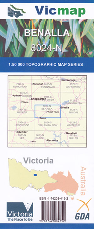
Benalla 1-50,000 Vicmap
$12.00 – $24.00
Description:
Benalla 1-50,000 scale Vicmap Topographical map 8024N is used for Walking, 4WD, Fishing, Camping, Motorcycle, both On and Off Road, Gold Prospecting and for those simply going for a family weekend drive.
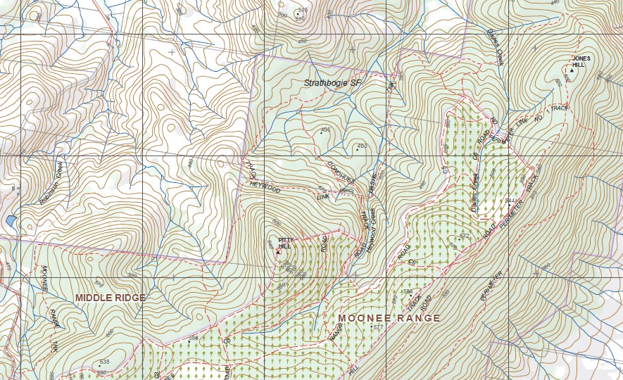
Topographical maps show not only Contours of the Terrain but Walking Tracks, Sealed and Unsealed Roads, Rivers, Creeks, Lakes, Historical Point of Interest, Old Mine Sites mbtg and National and State Park areas.
Main Features of this map includes:
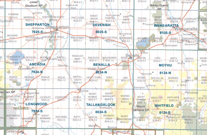
The towns of Benalla, Violet Town and Euroa
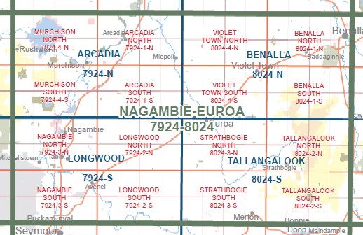
Top of the Strathbogie Ranges, to cover all you also need Tallangalook, the map to the South, see below
Benalla, Baddaginnie, MORPHETT SWAMP WR, JUBILEE SWAMP WR, TURNIP CREEK BR, Woolpress Creek, BADDAGINNIE (EARLSTON) (AIRFIELD), Tarnook, GOOMALIBEE NCR, REEF HILLS State Park, Gouldings Camp, Big Casey Island, mbtg, Lima, Boho, Strathbogie State Forest, Boho Plantation, mbtg, UMBRELLA Hill, Wilkinsons Track, SEPARATION Spur Track, TYE Hill, Warrenbayne, REEF HILLS State Forest Southern Section, Yin Barun, JONES Hill, Swanpool, Hume And Hovell Monument
TAMLEUGH, TAMLEUGH West, Tamleugh West, GUM SWAMP MIEPOL WR, KARRAMOMUS BR, Faithful Creek, MCBURNEY SWAMP WR, CANIAMBO SOUTH NCR, Holyland Plain, LEHMANN SWAMP WR, Frankie Swamp, GOWANGARDIE NCR, Shadforth Reserve, mbtg,Euroa, Violet Town, Miepoll, MIEPOLL SOUTH NFR, MOGLONEMBY BR, CASTLE CREEK BR, EUROA THE PARACHUTE SCHOOL AIRFIELD, Moglonemby, Riggs Creek, BALMATTUM BR, Balmattum, MARRAWEENY BR, Violet State Forest, Harrys Creek, Marraweeney


