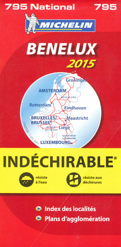
Benelux Map 795 Michelin
Description:
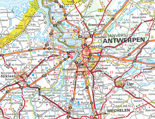
If you are looking for a map for when you disembark at Zeebrugge, Rotterdam or even the Hook of Holland, Ostend or Dunkirk then this is the map as it covers Belgium, Luxembourg and Holland in a scale of 1:400,000. It is also very useful if you are heading across the Benelux region to France, Germany, the Alps or beyond.
Being a “High Resistance” Michelin map it is made from waterproof and tear resistant paper making it very hard wearing and ideal for biking, touring or a heavy use environment.
Michelin National maps with their distinctive red covers give an excellent overall picture of the country or region and your route. They include town plans, driving information and an index of place names. The simple folding design of the map allows them to be read like a book and easily folded back together.
Roads with green highlighted edges indicate scenic routes when you want to get away from the Motorway or explore the beauty of an area, and a rule of thumb is that they are generally good biking roads as well.
- Publisher: Michelin; 1 edition (18 Jan 2014)
- Language: French
- ISBN-10: 2067191799
- ISBN-13: 978-2067191792
- Product Dimensions: 25 x 12 x 1 cm