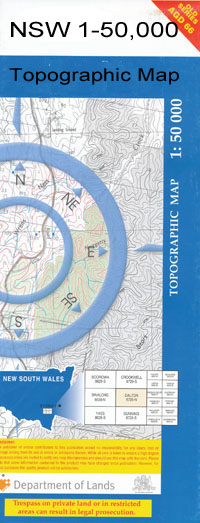
Berembed Weir 1-50000 NSW Topographic Map
$16.95
Description:
Berembed Weir 8228-S 1-50,000 scale NSW Topographical map is used for Walking, 4WD, Fishing, Camping, Motorcycle, both On and Off Road, Gold Prospecting and for those simply going for a family weekend drive.
Topographical maps show not only Contours of the Terrain but also Walking Tracks, Sealed and Unsealed Roads, Rivers, Creeks, Lakes, Historical Point of Interest, Old Mine Sites and National and State Park areas.
 We can Now LAMINATE and fold your map for $12.00. Just click on the image and add to the Trolley
NOW AVAILABLE PRINT ON DEMAND
Locations within this Map
Mount Arthur Berembed Weir Berrembed Birrego Boggy Creek Brewarrena Buckinbong Buckingbong State Forest Bulgari Lagoon Bulgary Lagoon Cobb Derain Derain Railway Station Derain Tank Elliott Faithfull Galore Galore Railway Station Gillenbah Gillenbah Creek Gillenbah State Forest Gobbagaula Green Swamp Grong Grong Horseshoe Lagoon Jacksons Waterhole Kockibitoo Kockibitoo State Forest Kywong Kywong Public School Kywong Railway Station Little Sandy Creek Massacre Island Matong Matong Lagoon Matong Public School Matong Railway Station Matong State Forest Middle Creek Oak Creek Old Man Creek Sandigo Sandy Creek Wabblambilly Sand Hill Wauberrima Wood Devlins Tank Dixons Dam Duck Bend Billabong Bundidgerry Bundidgerry Creek Mahers Dam Redbank Creek Pamandi Station Bundidjerry Creek Cowabbie Creek Long Plain Creek Afton Bullenbung Creek
| Name: | Berembed Weir |
| Publisher: | New South Wales Government |
| Scale: | 1:50000 |
| Latitude Range: | 34° 45.0′ S – 35° 0.0′ S |
| Longitude Range: | 146° 30.0′ E – 147° 0.0′ E |
| Datum: | GDA 94 |

