Blue Mountains North and South Maps Spatial Vision
$30.00 – $60.00
Description:
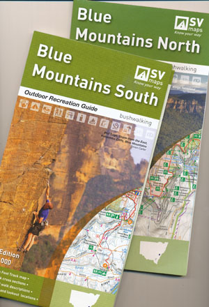
Blue Mountains North and South Maps combination Spatial Vision
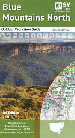
Blue Mountains North Map
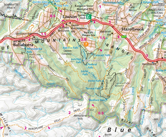
Coverage extends from the Great Western Highway (Glenbrook – Katoomba) in the south to the southern part of Wollemi National Park in the north. The reverse side features popular walk descriptions.
1:50,000 scale main map with 1:25, 000 map inset of the Katoomba area.
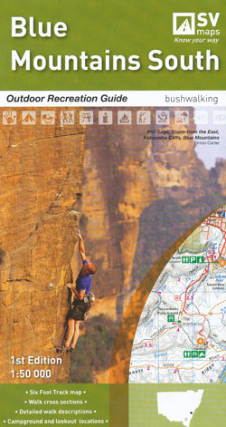
Blue Mountains South Map Now Print on Demand
Coverage extends from the Great Western Highway (Glenbrook – Katoomba) in the north to the southern end of Lake Burragorang including Cox’s and Kowmung Rivers and portion of Kanangra-Boyd National Park. The reverse side features popular walk descriptions.
1:50,000 scale main map plus there is an inset of the famous Six Foot track.
Both First Edition October 2011
Individually $13.95 each plus postage and handling


