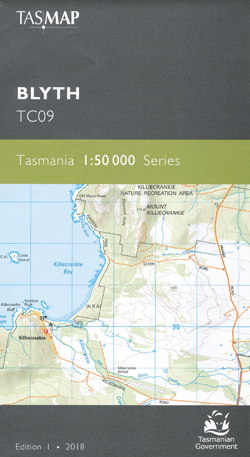
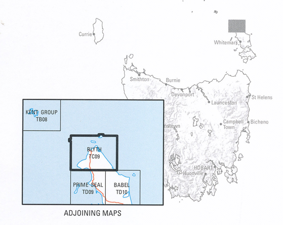
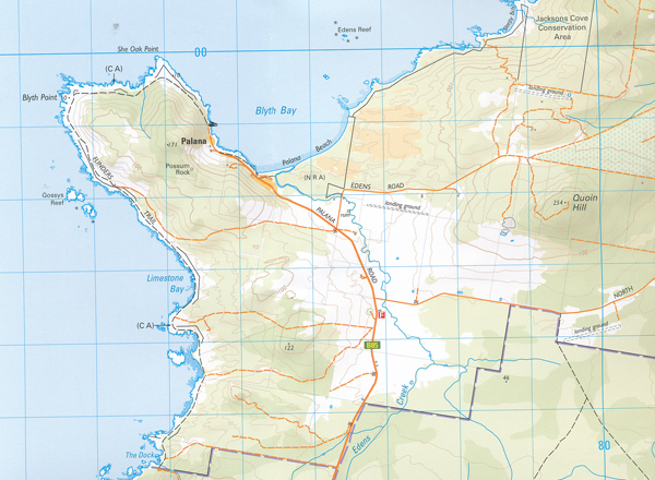
Blyth 1-50,000 Tasmap Topographic Map
$13.95
1 in stock
Description:
Blyth 1-50,000 Tasmap Topographic Map
This map covers the northern part of Flinders Island, along with the outlying Inner and Outer Sister Islands. Flanked on the eastern side by the seemingly endless Foochow Beach, North East River is a popular destination for swimming, surfing, fishing and birdwatching. The river flows from the Wingaroo Nature Reserve through tidal wetlands to the northernmost tip.
The idyllic settlement of Killiecrankie on the west coast is famous for the occurrence of topaz, known locally as ‘Killiecrankie diamonds’. With spectacular scenery, extensive coastal bushwalking, leisure and fishing opportunities, this map is an essential navigational aid for this area.
The design of the 1:50 000 Map Series will provide clear and accurate portrayal of topographic information, with symbols and map content giving enhanced depiction of buildings, hill shading and a simplified classification of vegetation.
| Product Number: | TC09 |
| Edition: | 1 |
| Production Year: | 2018 |
| Datum: | Geocentric Datum of Australia 1994 (GDA94) |
| Scale: | 1:50000 |
ISBN: 9318923027365


