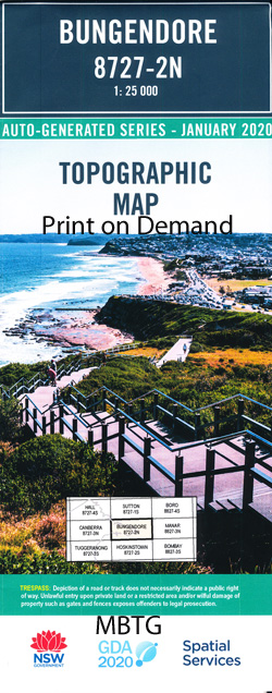
Bungendore1-25,000 NSW Topographic Map
$16.95 – $31.95
Description:
8827-2-N Print on Demand
Bungendore 1-25,000 Scale NSW Topographical Map is usedfor Walking, 4WD, Fishing, Camping, Motorcycle, both On and Off Road, GoldProspecting and for those simply going for a family weekend drive.
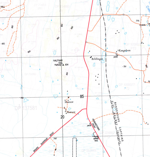
Topographicalmaps show not only Contours of the Terrain but also Walking Tracks, Sealed andUnsealed Roads, Rivers, Creeks, Lakes, Historical Point of Interest, Old MineSites and National and State Park areas.
 Laminate and folded this NSW Topographical map, $12.00 see below.
This map includes the following localities: Bungendore Amungula Balcombe Bald Bald Hill Chinnery Dairy Station Creek Gibraltar Hill Halfway Halfway Creek Halfway Hill Kowan Gully Kowan Creek Lawless Lawless Hill Lynch Lynch Hill Majura Mill Post Creek Mills Cross Molonglo River Neals Tent Poppet Poppet Hill Queanbeyan East Public School Queanbeyan The Ridgeway Scabbing Flat Creek Scabins Flat Creek Shanahan Stony Creek Turalla Turalla Hill Turallo Creek Vautin Wattle Flat Wright Sportsground Bungendore ‘A’ Bungendore Junction Burbong Burbong Hill Village of Burbong Burke Burke Hill Byron Wamboin Turallo Nature Reserve Greenleigh Carwoola Atkinson Mount Cohen Mount Felled Timber Felled Timbers Field Firing Range(Pines) Glen Burn Creek Kowen Kowen Camp Kowen Pine Forest Molonglo Gorge Mount Reedy Murryong Tara Li Warrawalong Weber Creek William Collier Homestead Yalgum Riverview
| Scale: | 1:25000 |
| Latitude Range: | 35 15.0 S – 35 22.5 S |
| Longitude Range: | 149 15.0 E – 149 30.0 E |
| Approx Print Size: | 0.56m X 1.11m |
| Projection: | Transverse Mercator |


