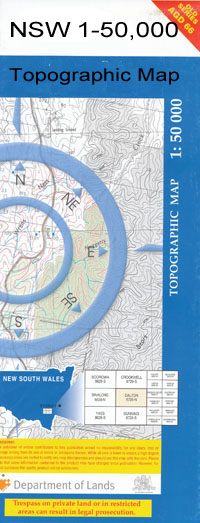
Bunna Bunna 1-50000 NSW Topographic Map
$16.95
Description:
Bunna Bunna 8738-S 1-50,000 scale NSW Topographical map is used for Walking, 4WD, Fishing, Camping, Motorcycle, both On and Off Road, Gold Prospecting and for those simply going for a family weekend drive.
Topographical maps show not only Contours of the Terrain but also Walking Tracks, Sealed and Unsealed Roads, Rivers, Creeks, Lakes, Historical Point of Interest, Old Mine Sites and National and State Park areas.
 We can Now LAMINATE and fold your map for $12.00. Just click on the image and add to the Trolley
NOW AVAILABLE PRINT ON DEMAND
Locations within this Map
Pinpampa Corrah Bulyeroi Bunna Bunna Thalaba Urimbla Neotsfield Sunnyside Spring Plain Haddon Hyema Nowley Howley Avon Downs Bore Black Dog Ramp Booramine Brigalow Brigalow Tree Waterhole Camp Lagoon Clements Dangar Dealwarraldi Denham Jews Lagoon Bore Hazel Park Public School Markham Millie Moomin Bore Morgan Oreel Pidgee Waterhole Spring Plains Thalaba Creek Vickery Warrambool Creek Yarranbah Yarranbar Bulyeroi Bore Doorabeeba Doorabeeba Creek Bunna Bunna Bunna Dam Bunna No. 2 Bore Bunyah Burren Creek Burrendong Mungindi Racecourse Mungindi Post Office Mungindi Weir Jews Lagoon Pimpampa Waterloo Creek Boolcarol Tank Boolcarrol Tank The Jews Lagoon Warriana Carbeenbi Waterhole
| Name: | Bunna Bunna |
| Publisher: | New South Wales Government |
| Scale: | 1:50000 |
| Latitude Range: | 29° 45.0′ S – 30° 0.0′ S |
| Longitude Range: | 149° 0.0′ E – 149° 30.0′ E |
| Datum: | GDA 94 |

