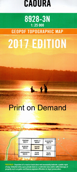
Caoura 1-25,000 NSW Topographic Map
$16.95 – $28.95
Description:
Print on Demand 8928 – 4 s
Budawang Area Walks on this Map
Tolwong – Billy Bulloos Canyon – Tryers Ridge – Tolwong Mines return
Map Caoura 1-25,000
Tolwong – Touga Trig – Wineglass Tor – Great Horseshoe Bend return
Maps Caoura and Touga 1-25,000
Caoura 1-25,000 Scale NSW Topographical Map is usedfor Walking, 4WD, Fishing, Camping, Motorcycle, both On and Off Road, GoldProspecting and for those simply going for a family weekend drive.
Topographicalmaps show not only Contours of the Terrain but also Walking Tracks, Sealed andUnsealed Roads, Rivers, Creeks, Lakes, Historical Point of Interest, Old MineSites and National and State Park areas.
 Laminate and folded this NSW Topographical map $12.00 see below.
This map includes the following localities: Mount Ayre Adams Lookout Badgerys Crossing Place Badgerys Lookout Badgerys Spur Balchams Gully Beck Becks Gully Billy Blues Canyon Billy Blues Crown Billy Bulloos Canyon Billy Bulloos Crown Bobs Swamp Blockup Gorge Boongala Creek Bretons Creek Bullan Bullan Buttress Bullangalong Creek Bullan Gap Camp Oven Spur Canoe Flat Caoura Caoura Creek Caoura Ridge Caringal Creek Clouts Creek Copper Canyon Crisps Pass Darkeys Gully Dungeon Creek Dungeon Falls Dynamite Pass Fools Gold Gully Fordham Canyon Mount Fordham Fossickers Flat Fossil Cave Frome Hill Fryingpan Creek Funnels Buttress Funnels Creek Funnels Pass Gang Gang Knob Gibson Cliff Goat Hill Greys Point Mount Griffith Taylor Grill Cave Hermit Flat Hermit Spur Hogans Cave Iron Pot Creek Iron Pot Clearing Jerrara Jerrara Falls Jerrara Lookout Kellys Cave Kerillon Creek Canyon Flat Deadmans Creek Devils Pulpit Gibson Sheerdown Grand Canyon Kingpin Mountain Kulan Creek Lansdowne Creek Lansdownes Creek Lench Point Point Lench Limekiln Long Point Long Point Lookout Long Gully Lookdown Louise Lake Louise Reach Magpie Knob Main Gully Marulan South Merino Pass Mogo Gully Needles Buttress Needles Pass New Chum Ridge North Peak Nuggetty Ridge Paddys castle Paddys Creek Paradise Creek Mount Pollock Projection Creek Projection Point Rainbow Ridge Rainbow Saddle Renns Bluff Rorari Creek Rosella Knob Rotten Creek Rumsey Point Point Ruse Sivewright Spur Sluice Gully South Head Sparkes Buttress Split Rock Point Spring Creek Spring Ridge Tallowal Creek Tallowal Gully Tallangla Creek Tanner Gully The Willows Throsby Point Tolwong Tolwong Creek Troy Walls Tryers Creek Tryers Gorge Tryers Ridge Tumbledown Point Warrigal Lookout Wattle Flat Creek Wirritin Creek Wirritin Point Mount Woolnough Woorawa Head Yager Lookout Ditter Creek Dog Den Creek Dog Den Hill Dollys Creek Drum Cave Bungonia Canyon Bungonia Caves Bungonia Creek Bungonia Falls Bungonia Grand Canyon Bungonia Lookdown Bungonia State Conservation Area Burnt Shell Point Bushrangers Pass Devils Pulpit Lookout Tallowal The Slot Canyon Bungonia Gorge
| Scale: | 1:25000 |
| Latitude Range: | 34 45.0 S – 34 52.5 S |
| Longitude Range: | 150 00.0 E – 150 15.0 E |
| Approx Print Size: | 0.56m X 1.11m |
| Projection: | Transverse Mercator |
NOW PRINT ON DEMAND


