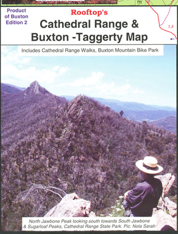
Cathedral Range and Buxton Taggerty Map Rooftop
$13.95
Description:
OUT OF PRINT LIKELY RETURN 2027
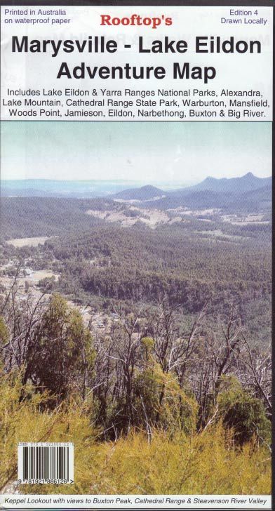
THE FULL CATHEDRAL RANGE MAP IS ON THE BACK OF THE MARYSVILLE LAKE EILDON ADVENTURE MAP ROOFTOP BELOW, WHICH WILL BE SUPPLIED IF THIS MAP IS ORDERED
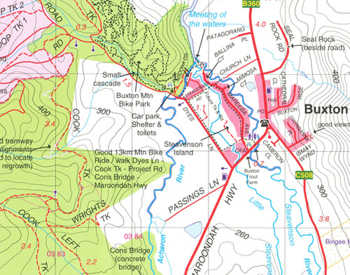
Coverage includes all of Cathedral Range State Park between Buxton, Taggerty and the Blue Range Road.
All walking tracks have been field checked and the map contains notes for a selection of easy and hard walks. There is also a map of Buxton township walking and mount bike tracks.
Pocket-sized map. Waterproof & tear resistant.
Additional product information
| Edition | 2nd edition (Formerly Cathedral Range Pocket Map). |
| Publication date | 2014. |
| Map Scale | (Main Map) 1:30,000. |
| ISBN | No ISBN. |
Read More