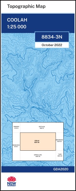
Coolah 1-25,000 NSW Topographic Map
$16.95 – $28.95
Description:
Coolah 1-25,000 NSW Topographic Map 88343N Print on Demand
Locations within this Map
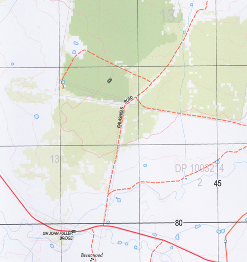
Bullaroy Ellerslie Lynwood Galashiels Yattendon Kallateenee Loloma Brentwood Cloven Hills Allister Park Bolton Hillsborough Brown Springs Kyana Mandalong Hopedale Marombi Glenthorne Booyamurra Bellevue Oban Bradmar Bruendah Monterey Sunset Strip Salisbury Mount Hope Collie Blue Mumbedah The Rock Woodvale The Willows Coolah Baldy Hill Boycee Dam Coggins Gully Coggins Hole Collieblue Creek Coolaburragundy River Coolah Bridge Coolah Cemetery Collah Public School Coolah Town Well Cox Gap Cunningham Park Dalglish Dead Man Creek Gotta Rock Gulf Creek Cogans Creek Cogans Hole Coggins Creek Coolah Creek Coolah General Cemetery Coolah Shire Town Water Pump Cunningham Caravan Park Dead Mans Gully Mcmaster Park Malcolm Merrygoen Creek Miangulliah Creek Oliver Creek Olivers Gully Paddys Knob Queensbro Queensborough Queensborough Creek Queensborough Park Rock Gully Salisbury Hill Sawpit Creek Vaughans Gully Wallaby Creek Wallaby Gully Wallambriwang Creek Wallumburrawang Butheroo Waterhole Coolah Common Hill 60 Park Gully Pipers Gully Queensborough Hill Rock Gully Creek Round Hill Swanston Park Trig. Station Hill Racecourse Reserve Bowen Oval Stump Creek
| Scale: | 1:25,000 |
| Latitude Range: | 31° 45.0′ S – 31° 52.5′ S |
| Longitude Range: | 149° 30.0′ E – 149° 45.0′ E |
| Datum: | GDA 2020 |
| Approx Print Size: | 0.56m X 1.11m |
| Publication Date: | 2022 |


