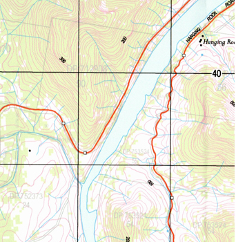
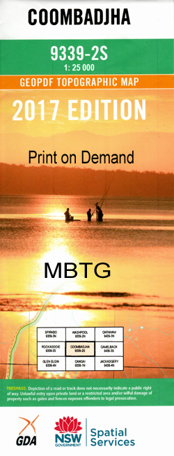
Coombadjha 1-25,000 NSW Topographic Map
$16.95 – $31.95
Description:
Locations within this Map
Stockdale Bellbird Camp Hanging Rock Babepercy Creek Albert Bellbird Creek Bellbird Gully Bobward Creek Boundary Creek Brushy Creek Camp Gully Cangai Cangai Bluff Cattle Camp Gully Cold Water Creek Coombadjha Coombadjha Creek Coombadjha Sugarloaf Dandahra Dandahra Creek State Forest Dundarra Gully Eaglehawk Creek Gibraltar Range Gibraltar Range National Park Granite Reserve Grassy Creek Gundah Creek Gwydir Haystack Mountain Haystack Spur Heffron Lookout Hianana Creek Hills Lookout Camp Creek Cattle Camp Creek Dundarra Creek Gap The Haystack The Horse Swamp Creek Keyes Creek Litany Creek Litany Gully Little Gundah Creek Mckees Spur Main Branch of Second Camp Creek Middle Bend Middle Creek Moogem Oaky Creek Oaky Gully Ogilvie Creek O’Haras Gap O’Haras Rock Pheasant Creek Pi Pi Creek Pi Pi Falls Richardsons Creek Richmond Rocky River Ruby Creek Second Camp Creek Sugarloaf Point Sugarloaf The Sugarloaf Summit Summit Mountain The Summit Waratah Steel Head Old Smoky Morven Creek Dundahra Creek The Hanging Rock
| Scale: | 1:25000 |
| Latitude Range: | 29° 22.5′ S – 29° 30.0′ S |
| Longitude Range: | 152° 15.0′ E – 152° 30.0′ E |
| Datum: | GDA 94 |
| Approx Print Size: | 0.56m X 1.11m |
NOW PRINT ON DEMAND


