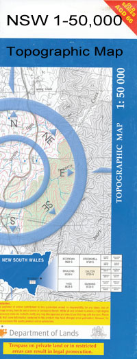
Dunedoo 1-50000 NSW Topographic Map
$16.95
Description:
Dunedoo 8733-N 1-50,000 scale NSW Topographical map is used for Walking, 4WD, Fishing, Camping, Motorcycle, both On and Off Road, Gold Prospecting and for those simply going for a family weekend drive.
Topographical maps show not only Contours of the Terrain but also Walking Tracks, Sealed and Unsealed Roads, Rivers, Creeks, Lakes, Historical Point of Interest, Old Mine Sites and National and State Park areas.
 We can Now LAMINATE and fold your map for $12.00. Just click on the image and add to the Trolley
NOW AVAILABLE PRINT ON DEMAND
Locations within this Map
Martindale Rosedale Romani Rabeen Muriel Plain Koolyn Dunedoo Back Creek Avondale Public School Adelyne Back Gully Bald Hill Bark Barneys Reef Big Creek Blackheath Creek Blackheath Gully Blackheath Birriwa Birriwa Cemetery Birriwa General Cemetery Birriwa Public School Birriwa Station Bolaro Bomely Bomley Creek Boomley Boomley Railway Station Boomley Creek Boston Broken Leg Creek Broken Leg Gully The Brothers Browns Creek Camerons Creek Carl Hill Clay Gully Cobbora Cobbora Cemetery Cobbora Creek Cobbora Lagoon Cobbora State Forest Cobra Hill Cobrauraguy Craboon Cranky Jacks Creek Dapper Dapper Hill Denison Dunedoo Cemetery Dunedoo Central School Dunedoo Golf Course Dunedoo Post Office Dunedoo Railway Station Edmonds Creek Elong Elong Elong Elong Cemetery Elong Elong Creek Flyblowers Creek Fords Fords Creek Four Mile Creek Gamba Goodiman Gollan Goodiman State Forest Hansells Hill Heath Huxleys Creek Isbester Creek Kangaroo Hole Mount Carl Cobborah Cobborah Cemetery Town of Cobborah Cobborah Creek Cobbora Waterhole Collan Graboon Railway Station Cranky Jacks Gully Mount Dapper Dunedoo General Cemetery Village of Dunedoo Edmonds Gully Elong Elong General Cemetery Elong Elong Railway Station Happy Sallys Creek Hugbys Water Hole Hungry or Thirsty Gully Kennedys Creek Laheys Creek Lambing Yard Lambing Yard Creek Limestone Creek Medway Medway Creek Medway Public School Merotherie Meruthera Mirrie Mullion Creek Mullion Gully Naran Creek Naran Springs Narran Narran Creek Narran Hill Patricks Creek Pine Gully Redbank The Rocks Rouse Sallys Creek Sand Creek Sandy Creek Saxa Snake Creek Snake Gully Spicers Rocks Spring Creek Spring Gully Spring Hill Spring Mountain Surface Hill Talla Tallawang Tallawang Railway Station Tallawang Creek The Lagoon Thirsty Creek Three Mile Creek Tucklan Tucklan Creek Tuckland Tuckland State Forest Two Mile Creek Upper Tallawang Wargundy Wargundy Brothers Town of West Cobborah Wooloowoolanley Creek Yarrow Bulliroy Creek Robertson Park Avondale Denison Town Narangarie Creek Coolaburragundy River Mumbedah Creek Nathan Native Dog Creek West Cobbora West Cobborah Adelyne Creek Bomely Creek Baragonumbel Rowellan
| Name: | Dunedoo |
| Publisher: | New South Wales Government |
| Scale: | 1:50000 |
| Latitude Range: | 32° 00.0′ S – 32° 15.0′ S |
| Longitude Range: | 149° 0.0′ E – 149° 30.0′ E |
| Datum: | GDA 94 |

