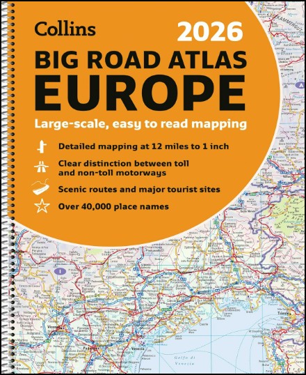


Europe Big Road Atlas Collins 2026
$59.95
1 in stock
Description:
Europe Big Road Atlas Collins 2026 Spiral Bound
This super-clear, detailed road mapping covers all the top European tourist destinations in a large, easy-to-read format. Bask on the French Riviera, relax in sunny Sicily or discover the Dalmatian Coast; plot any of these trips with this comprehensive and accessible A3, spiral-bound atlas.
With main mapping at a scale of 12 miles to the inch, this Road Atlas of Europe is our clearest yet.
Main features
- 116 super-size main mapping pages
- 12 additional pages of route planning mapping for long distances
- Accessible, large print font
- Clarifies toll and toll free motorways for ease of use
- Scenic routes identified and highlighted
- Easy-to-use, large A3 size with handy spiral binding
- Full road classification
- Local town and city names match up with local road signs to aid navigation
- Legible and easy to read index
- Major European routes shown
Coverage of the whole of Europe at route planning scale with super-scale mapping of mainland Europe from France and Spain in the west, through Germany and Italy, to Poland, the Balkans and Greece in the Southeast.
Mapping Scales
- 116 pages of super-scale mapping – 12 miles to the inch (1:760,000)
- 12 pages of route planning maps – 55 miles to the inch (1:3,500,000)
- Publisher : Collins GB
- Publication date : 13 August 2025
- Edition : New edition
- Language : English
- Print length : 192 pages
- ISBN-10 : 0008716463
- ISBN-13 : 9780008716462
- Item weight : 1.07 kg
- Dimensions : 29.6 x 1.2 x 38.5 cm
Read More