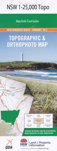
Glen Gallic 1-25,000 NSW Topographic Map
$16.95 – $31.95
Description:
9032-4-N Print on Demand
Locations within this Map
Mandemah Durham Farm Peal Hill Rosedale Byerley Stud Kurrajongs Riscavale Stud Ranchthe Baerami Creek Baerami Long Arm Cowparlor Cowparlor Creek Gallic Glen Gallic Gungalwa Gungalwa Creek Hungerford Hungerford Creek Greigs Creek James Creek Long Arm The Long Arm Long Creek Martindale Martindale Creek New Found Out Creek New Found Out Gully No. 5 Rose Roses Creek Spring Creek Spring Gully The Lake Tomalpin Bureen Creek Burtons Creek Mount Pirribil The Ranch
| Name: | Glen Gallic |
| Publisher: | New South Wales Government |
| Scale: | 1:25000 |
| Latitude Range: | 32° 30.0′ S – 32° 37.5′ S |
| Longitude Range: | 150° 30.0′ E – 150° 45.0′ E |
| Datum: | GDA 94 |
| Approx Print Size: | 0.56m X 1.11m |
Read More

