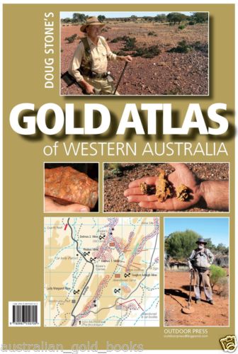
Gold Atlas of Western Australia Doug Stone
$125.00
Description:
Creating a Gold Atlas of Western Australia- a dream or a crazy possibility ! Doug Stone has been prospecting and producing mud maps of Western Australia since the late 1970s and prospectors have often asked why he hasn’t produced spatially correct Gold & Relic maps similar to those he publishes covering Australia’s Eastern State goldfields. The answer has always been ….” Western Australia is so vast it would be impossible to achieve.
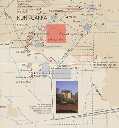
Well – Doug Stone’s- Gold Atlas of Western Australia released in 2013 is the first step in the task of mapping one of the world’s largest and richest gold provinces – Western Australia. The Atlas begins at Halls Creek in the Kimberley and stretches south through Marble Bar, Nullagine, Meekatharra, Leonora and Menzies through Kalgoorlie to Norseman. Doug’s Gold Atlas is a work in progress, new maps will be added in future editions.
The Atlas includes over 80 detailed maps, is printed in full colour and spiral bound for ease of use in a vehicle. A must for every prospector heading to WA!
Additional product information
| ISBN: | ISBN 9780987550705. |
| Size: | 400mm X 270mm. |
| Pages: | 86 pages. |
| Binding: | Laminated Board Cover. Spiral bound. |
| Publication Date: | (1st edition 2013). |
| Images (Colour or Mono) | Full colour. |
| Author and/or publisher | Doug Stone. (Outdoor Press). |


