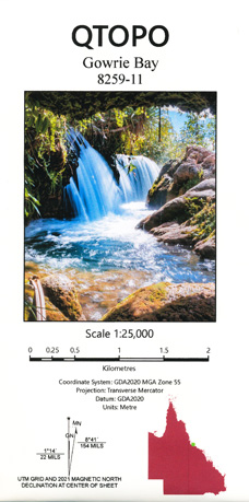
Gowrie Bay 1-25,000 Topographic Map QLD
$15.95 – $30.95
Description:
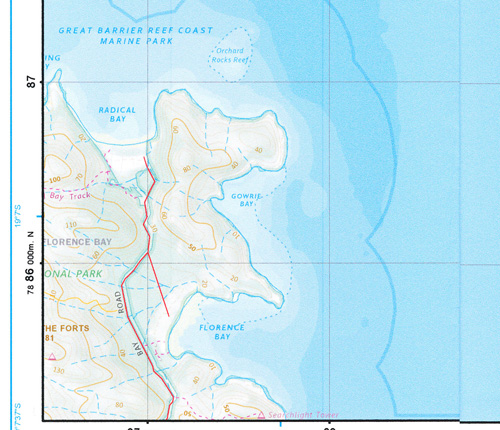
This is the North Eastern Section of Magnetic Island, you will need Horseshoe Bay and Magnetic to cover the entire Island at this scale. GOWRIE IS NEARLY ALL SEA
Locations within this Map
Florence Bay Gowrie Bay Orchard Rocks
| Name: | 8259-11 |
| Publisher: | Queensland Government |
| Scale: | 1:25000 |
| Latitude Range: | 19° 00.0′ S – 19° 7.5′ S |
| Longitude Range: | 146° 52.5′ E – 147° 0.0′ E |
| Projection / Datum: | Universal Transverse Mercator, GDA 94 |
| Approx Print Size: | 0.56m X 0.56m |
| Publication Date: | Continuously updated |
Read More


