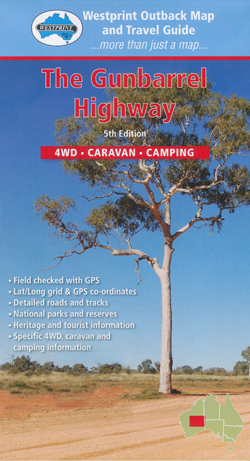
The Gunbarrel Highway Map Westprint
$14.95
5 in stock
Description:
Also Including The Great Central Road
This Westprint Heritage Map covers The Gunbarrel Highway from the Northern territory Border to Wiluna and The Great Central Road to Leonora.
Coverage also includes the Western Australian section of the Anne Beadell Highway, Connie Sue Highway, Plumridge Lakes and Laverton.
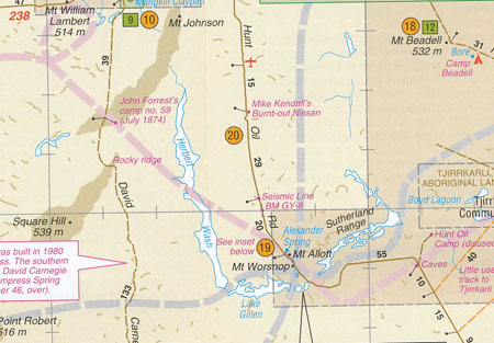
A feature of all Westprint maps is the amount of text of historic and tourist interest. The map contains numbered symbols cross-referenced to detailed information on each numbered site. Intermediate and major distances are clearly shown and there are symbols for fuel locations, rest areas, caravan parks and camp sites. Early explorers routes have been colour-coded. There are also GPS co-ordinates.
Scale: 1:1,300,000
Edition: 5
ISBN 9780646182223


