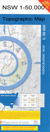
Kiacatoo 1-50000 NSW Topographic Map
$16.95 – $31.95
Description:
Kiacatoo 8231-N 1-50,000 scale NSW Topographical map is used for Walking, 4WD, Fishing, Camping, Motorcycle, both On and Off Road, Gold Prospecting and for those simply going for a family weekend drive.
Topographical maps show not only Contours of the Terrain but also Walking Tracks, Sealed and Unsealed Roads, Rivers, Creeks, Lakes, Historical Point of Interest, Old Mine Sites and National and State Park areas.
 We can Now LAMINATE and fold your map for $12.00. Just click on the image and add to the Trolley
NOW AVAILABLE PRINT ON DEMAND
Locations within this Map
Kalinga Cugong Belaire Cocos Moorong Gowan-Brae Kiacatoo North Brotherony Everton Lachlans Park Millawa Riverview Wilga Grove Glenlee Booberoi Station Wardry Oakover Koobothery Warra Warra Marigold Micabil Ulinbawn Boolaree Brotherony Worrongorrah Newhaven Brolgamba Wistaton Delladale Darcyville Wallanoi West Myuna Curriedale Normac Bimble Fairview Warrawee Wallaroi Neran Park Advene Wardry South Ben Lomond The Pines Caringa Ilobob Avalon Trig Hill Glenburnie Dunalpine Wilga Dale Loxley Husselbee Farm Glenarty Pine Lands Myall Park Dingo Dell Bald Peak Baleveolan Bolo Booberoi Booberoi Railway Station Booberoi State Forest Booberoi Weir Borapine Creek Brotheroney Budgeri Cugong Hills Galona Goobothery Goobothery Ridge Guagong Gunebang Kalingalungaguy Creek Guagong Railway Station Guagong Range Kalingalungagay Creek Kiacatoo Weir Kiagathur Creek Kiargathur Kiargathur Creek Mcgregor Micabil Weir Micabil Station Munda Creek Munda Lagoon Neaw Point Pipers Hill Rankins Springs Railway Station South Micabil South Mickabil Whyaddra Yaddra Yaddra Public School Yadra Public School Kiacatoo State Forest Budgery Gunebang Station Kiacatoo Station Wallaroi Creek Yarnell Creek Goobothery Range Coobothery Range
| Name: | Kiacatoo |
| Publisher: | New South Wales Government |
| Scale: | 1:50000 |
| Latitude Range: | 33° 00.0′ S – 33° 15.0′ S |
| Longitude Range: | 146° 30.0′ E – 147° 0.0′ E |
| Datum: | GDA 94 |

