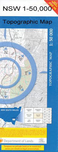
Mimosa 1-50000 NSW Topographic Map
$16.95
Description:
Mimosa 8328-N 1-50,000 scale NSW Topographical map is used for Walking, 4WD, Fishing, Camping, Motorcycle, both On and Off Road, Gold Prospecting and for those simply going for a family weekend drive.
Topographical maps show not only Contours of the Terrain but also Walking Tracks, Sealed and Unsealed Roads, Rivers, Creeks, Lakes, Historical Point of Interest, Old Mine Sites and National and State Park areas.
 We can Now LAMINATE and fold your map for $12.00. Just click on the image and add to the Trolley
NOW AVAILABLE PRINT ON DEMAND
Locations within this Map
Back Creek Bagdad Bectric Berry Jerry Brangalgan Cartwright Chant Cooney Cootamundra Cullinga Currajong State Forest Ingalba Jindalee Jurambula State Forest Kindra Creek Lachlan Methul Methul Creek Mimosa Murrulebale Murrulebale Hill Murrulebale Rock North Berry Jerry Ocean Swamp Pikedale Rannock Redbank Creek Robertson The Rock Smoky Creek Top Lagoon Trickett Village of Mimosa Walladilly Wallendoon Warre Warral Wharrun Winchendon Vale Bull Holes Corner Devlin Dulah Dulah Dulah Derry Lagoon Tara Bagdad Dam Mamoo Cowabble The Eagles Pine Vale Berry Jerry Tank Junction Tank Kywong
| Name: | Mimosa |
| Publisher: | New South Wales Government |
| Scale: | 1:50000 |
| Latitude Range: | 34° 30.0′ S – 34° 45.0′ S |
| Longitude Range: | 147° 0.0′ E – 147° 30.0′ E |
| Datum: | GDA 94 |

