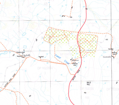
Nest Hill 1-25,000 NSW Topographic Map
$16.95 – $31.95
Description:
8326-1-NPrint on Demand
Locations within this Map
Back Creek Bald Hill Black Ridge Black Range Cookardinia Cookardinia Cemetery County Ridge Crestview Public School Flat Top Forest Creek Fords Creek Four Post Creek Cookardinia General Cemetery Fords Gully Nest Nest Hill Oak Pulletop Rocky Waterholes Creek Sawpit Creek Sawpit Gully Creek Sawyers Creek Mount Stewart Terminus Running Waterhole Creek Bald Hills Westby Deans Creek
| Name: | Nest Hill |
| Publisher: | New South Wales Government |
| Scale: | 1:25000 |
| Latitude Range: | 35° 30.0′ S – 35° 37.5′ S |
| Longitude Range: | 147° 15.0′ E – 147° 30.0′ E |
| Datum: | GDA 94 |
| Approx Print Size: | 0.56m X 1.11m |
Read More


