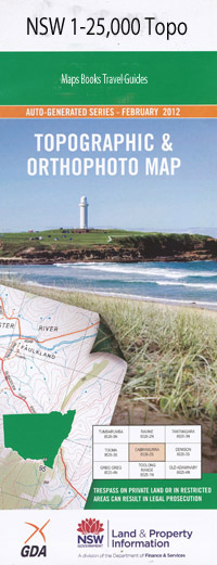
Sara River 1-25,000 NSW Topographic Map
$16.95 – $31.95
Description:
9338-3-S Print on Demand
Oakwood Meadows Pepperbox East Lyn Honeysuckle Rozelle Yarraldool Kookabookra Ballards Ballards Flat Black Hole Creek Box Flat Creek Brindle Dam Cedar Gully Chain of Ponds Creek Chimney Gully Cottles Creek Dead Man Point Fitzgerald Creek Glen Nevis Glen Nevis State Forest Gulf Creek Indigo Jewess Creek Julians Creek Deadmans Point East Oakwood Creek The Flats Geoffs Creek Geofs Creek High Hill Jacobs Swamp Kilprotay Lightning Hill Lindsays Knob Little Plain Martins Point Middle Branch of Bazorback Creek Mitchell Mitchell River Moggs Swamp Moggs Swamp Creek Nuggety Gully Oakwood State Forest Razorback Range Red Steer Flat Roberts Hill Roger Creek Roses Creek State Forest Mount Ross Sara Sara River Seven Mile Creek Sheep Station Creek Starlight Creek Starlight Gulf Starlight Lookout Stop-A-Bit-Hill Stop A Bit Ridge Stop-A-Bit Spur Sydney Plain Watch Watch Mountain Watts Creek Willy Willys Creek Yarrow House Creek Stop A Bit Creek Little Henry River Back Creek Bobs Creek
| Name: | Sara River |
| Publisher: | New South Wales Government |
| Scale: | 1:25000 |
| Latitude Range: | 29° 52.5′ S – 30° 0.0′ S |
| Longitude Range: | 152° 0.0′ E – 152° 15.0′ E |
| Datum: | GDA 94 |
| Approx Print Size: | 0.56m X 1.11m |

