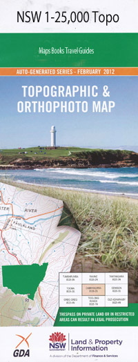
Scammells Lookout 1-25,000 NSW Topographic Map
$16.95 – $31.95
Description:
8525-3-N print on Demand
The Back Creek Back Creek Bears Flat Bourkes Gorge Clews Ridge Colemans Bend Deep Creek Devils Creek The Devils Grip Gorge Geehi Geehi Walls Granite Knob Grass Flat Creek Hume Indi Indi Range Cootapatamba Creek East Branch Murray River Geehi Creek Khancoban Khancoban Back Creek Mollers Creek Murray River Pheasant Spur Pheasant Ridge Pinnacle Pinnacle Mountain The Pinnacle Reads Ridge Reads Spur Reids Creek Round Flat Scammels Lookout Scammels Ridge Lookout Scammels Spur Lookout Smiths Creek Swampy Plain River The Devils Grip Tumbling Waters Walls Creek Wild Cow Flats Wilsons Creek Bullen Bullen Creek Scammells Lookout Scammells Ridge Lookout Biggara Biggara Creek Biggara Fire Station Bunroy Bunroy Creek Bunroy Gap Halls Paddock Maguires Bridge Mount Bunroy
| Name: | Scammels Lookout |
| Publisher: | New South Wales Government |
| Scale: | 1:25000 |
| Latitude Range: | 36° 15.0′ S – 36° 22.5′ S |
| Longitude Range: | 148° 0.0′ E – 148° 15.0′ E |
| Datum: | GDA 94 |
| Approx Print Size: | 0.56m X 1.11m |

