- Please choose product options by visiting Beechworth Albury Wangaratta Adventure Map Rooftop.
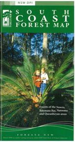
South Coast Forests Map NSW Forestry
$12.00 – $24.00
Description:
South Coast Forests Map NSW Forestry
SINGLE SIDED MAP ONLY, FOLDED, FLAT PAPER AND LAMINATED AVAILABLE
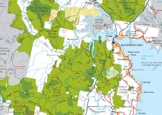
The South Coast Forest Map covers the area from Nowra south to Cobargo and west to Queanbeyan. This particular map combines information from the former Batemans Bay and Nowra State Forests maps covering the coastal region around those towns including Jervis Bay plus the state forests and national parks of the coastal hinterland (i.e: Morton NP, Araluen Valley, Braidwood etc.).
The map shows all regularly maintained roads and trails, walking tracks, recreation areas and lookouts.
The reverse side contains photographs and commentary on the history of the regions’ forests and forestry in the area, and details of recreation sites, including the must-see sites and a recreation facilities matrix.
This is a ‘must have’ for mountain bike riders, four-wheel-drive enthusiasts, bushwalkers, horseriders, dog owners and anyone who wants to explore the region’s extensive public forest estate.
The South Coast Forest Map was published in April 2003 and revised in May 2007.


