Southern Grampians Outdoor Recreation Guide Map SV
$19.95 – $29.95
Description:
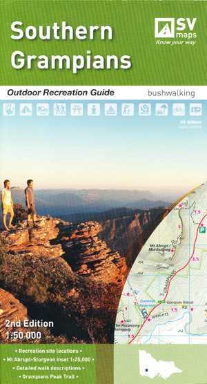
Southern Grampians Outdoor Recreation Guide Map SV
NOW PRINT ON DEMAND 2 SIDED MAP AND TEXT
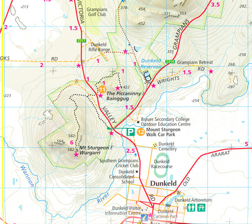
The Southern Grampians region is one of the most popular destinations in Victoria for bushwalking and outdoor recreation. The second edition of SVmaps’ Southern Grampians map provides all the information you need to explore this region and enjoy the many activities on offer. The detailed topographic map contains the latest road and walking trail networks, including the new Grampians Peak trail; Central Grampians section a 3 day – 2 night loop from Halls Gap, and locations of all the recreation sites in the region. A detailed inset of the Mount Abrupt & Mount Sturgeon region at 1:25,000 scale details the popular features around Dunkeld.
An ideal Grampians walking map for the Southern region
SCALE: 1:50,000
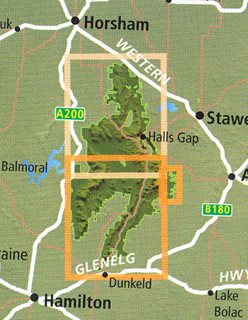
COVERAGE: Borough Huts, Mt. William, Jimmy Creek, Wannon Crossing, Kalymna Falls, Mt. Abrupt, Mt. Sturgeon, Dunkeld, Chimney Pots, Mt. Thackery and The Fortress Buandik
IDEAL FOR: Bushwalking, mountain biking, car touring, rock climbing and water sports
Edition: 2
SIZE (folded): 135mm wide and 250mm high
SIZE (unfolded): 820mm wide and 1000mm high
ISBN 9780995427624


