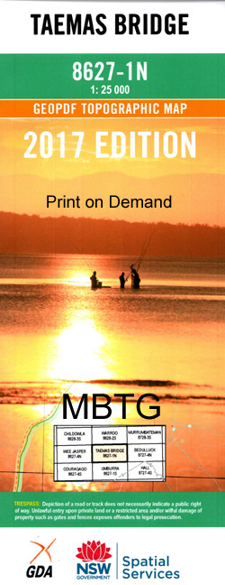
Taemas Bridge 1-25,000 NSW Topographic Map
$16.95 – $31.95
Description:
8627-1-N Print on Demand
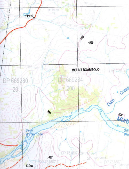
Bear Hole Bear Waterhole Big Hill Big Hill Creek Mount Boambolo Boggy Creek Cavan Cavan Gap Cockys Gully Coopers Creek Copplestone Creek Daniels Hill Davis Sugarloaf Fall Waterhole Flinty Mountain Creek Island Waterhole Jeir Jeir Hill Jenkins Flat Johnsons Creek Cockys Creek Island Hole Long Gully Mckeigs Hill Narrangullen Mount Narrangullen Nutter Nutter Hill Nutter Range Nutter Ridge Oakey Creek Oaky Creek Potts Hill Razorback Creek Razorback Hill Red Hill Round Hill Sawyers Creek School Creek Snag Hole Snag Waterhole Spring Creek Styles Hill The Sugarloaf Surveyors Creek Surveyors Gully The Swimming Hole Taemas The Fall Hole Tom Thatchers Hill Waddys Plain Waterhole Hill Wilson Wilson Hill Yeumburra Yeumburra Hill Bullmans Creek Bullmans Gully Doctors Flat Creek Doctors Waterhole Dog Trap Crossing Doolans Hill Doctor Flat Creek Dog Trap Ford Burrinjuck Reservoir Cavan West Gooda Creek Coranda Narrangullen Hill Mountain Creek Mullion Creek Roseville
| Name: | Taemas Bridge |
| Publisher: | New South Wales Government |
| Scale: | 1:25000 |
| Latitude Range: | 35° 0.0′ S – 35° 7.5′ S |
| Longitude Range: | 148° 45.0′ E – 149° 0.0′ E |
| Datum: | GDA 94 |
| Approx Print Size: | 0.56m X 1.11m |


