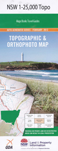
The Summit 1-25,000 NSW Topographic Map
$16.95 – $31.95
Description:
Locations within this Map
Maryland Rovam Ridge Half Mile Creek Hunts Gully Maryland Creek Mother Freds Creek Mother Freds Swamp Rams Swamp Creek The Rams Swamp Two Mile Swamp Cottonvale Applethorpe Cotton Vale Dalveen Water Facility Glen Niven The Summit Thulimbah
| Scale: | 1:25000 |
| Latitude Range: | 28° 30.0′ S – 28° 37.5′ S |
| Longitude Range: | 151° 56.0′ E – 152° 0.0′ E |
| Datum: | GDA 94 |
| Approx Print Size: | 0.56m X 0.3m |
Read More

