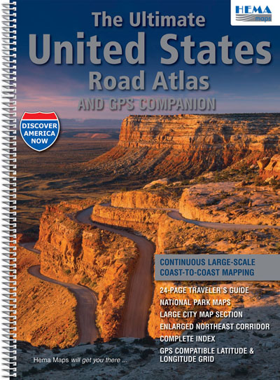
The Ultimate United States Road Atlas Hema
Description:
OU OF PRINT
2012 Edition Now Available
This road atlas was created to be different from other road atlases on the US market in that it contains seamless, coast to coast mapping, rather than one or two pages per state. So it is a bit like using a street directory. You can cross the whole of the US from East to West, just turning one page at a time. The regional maps are all at a great driving scale of 1:1M and the maps for the major cities and the extra maps for the busy North Eastern Corridor are drawn at 1:250K.
The road atlas contains 50 more map pages than conventional products and is clear and easy to read. It has a detailed information section highlighting many of the popular US tourist destinations. The atlas is the result of eighteen months of intensive cartographic work by Mapping Specialists, a well known cartographic firm based in Wisconsin, and was edited by noted map identity Bill Hunt.
Continuous large-scale coast to coast mapping.
24 page traveller’s guide
National Parks maps
Large city map section
Enlarged northeast corridor
Complete index
GPS compatible latitude and longitude grid
Soft laminated cover. Spiral bound. 224 pages. Approx. 389mm X 276mm.
ISBN 9781934006740
Edition 2012

