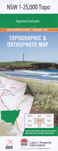
Towarri 1-25,000 NSW Topographic Map
$16.95 – $31.95
Description:
9034-3-N Print on Demand
Lockinvar Coorooga Deepwell Ellerslie Glendale Collareene Merrieton Strathleigh Karoola Towarri Glenrock Kamarooka Alroy Oakhaven Trillowee Glenmore Mount Hall Glendower Kildare Wonderland Fairfield Mt Boo Stirling Warrah Vale Cedar Vale Millers Creek The Glen The Oaks Warrah Highlands Chesney Oaks Wantima Big Jacks Creek Glenmurray Sunny Hills Lemon Grove Summer Hill Bambaroo Willowdene Bald Hill Bald Rock Mountain Barneys Gap Basin Gully Ben Lomond Big Gully Big Mountain Blackfellows Gully Mount Boo Branch Gully Brees Creek Brees Mountain Briar Gully Captains Creek Cedar Brush Creek Cedar Brush Gap Cedar Brush Nature Reserve Fern Top Flaggy Gully Four Mile Creek Governors Rock Mount Gregson Gum Gully Jones Creek Lemon Gully Little Jacks Creek Little Oaky Creek Logans Knob Milking Gully Mullins Gully Mullins Mountain Murrurundi Oaks Creek Oaky Creek Oaky Gully Onus Onus Ridge Oven Rock Parsons Mountain The Peak Pheasant Gully Rocky Gully Saggs Creek Sams Mountain Sawpit Creek Sawpit Gully Shanty Gully Shearers Gully Snake Gully Spring Gully Square Top Station Gully Stringybark Top Terell Thompsons Peak Mount Tinagroo Top Mullins Mountain Towarri Mountain Towarri Gully Wallaby Rocks Gully Watercress Gully Water Gully Willis Gully Bullpaddock Creek Dodds Gully Dog Trap Gully Towarri Nature Reserve Wonnarua Ridge Kamilaroi Plateau Mount Torreggiani Mount St Francis Mount Constable Ben Hall Mount MacKillop The Mitre Josephs Rest The Rampart Watchman Mount Sinai High Valley Fall Aquarelle Ferntree Creek Hensfoot Creek Mount Towarri Square Top Mountain
| Name: | Towarri |
| Publisher: | New South Wales Government |
| Scale: | 1:25000 |
| Latitude Range: | 31° 45.0′ S – 31° 52.5′ S |
| Longitude Range: | 150° 30.0′ E – 150° 45.0′ E |
| Datum: | GDA 94 |
| Approx Print Size: | 0.56m X 1.11m |

