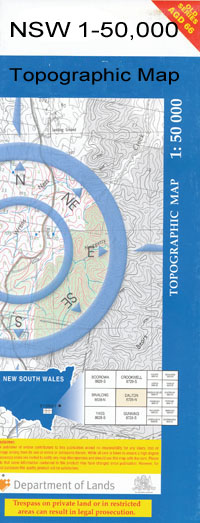
Trundle 1-50000 NSW Topographic Map
$16.95 – $31.95
Description:
8432-S Print on Demand
Cloghan Tralee Plevna Gillenbine Edenbah Station Murrumbogie Eastbourne Huntingdale Lynwood Noongah Curyo Claris Park Rockvale Strathisla Mount Pleasant Byong Yarrabundie Bardeen Trundle Berryman Park Boor Boor Hill Botfields Brue Plains Village of Trundle Coradgery State Forest Coradgery West Gillenbine Creek Gobondry Gobondry Mountains Gobondry Tank Kadungle Kadungle Tank Gobondery Kadungle Public School Oakwood Pleuna Raggatt Hill Redcliffe Rocky Hill Salisbury Tanilogo The Troffs The Troffs Tank Timaldrie Creek Trundle Cemetery Trundle Central School Trundle Dam Trundle General Cemetery Trundle Golf Course Trundle Golf Links Trundle Lagoon Trundle Post Office Trundle State Forest Walmer Yoes Lookout Bull Creek Bullock Creek Kadungle Siding Kadungle Station The Troffs Station Trundle Station Bruie Plains Gobondery Mountains Cobondery Mountains Gobondery Tank Cobondery Yeos Lookout Timalldrie Creek Woolgar Eurella The Wilgas Botfield Station Blowclear
| Name: | Trundle |
| Publisher: | New South Wales Government |
| Scale: | 1:50000 |
| Latitude Range: | 32° 45.0′ S – 33° 00.0′ S |
| Longitude Range: | 147° 30.0′ E – 148° 0.0′ E |
| Datum: | GDA 94 |
| Approx Print Size: | 0.56m X 1.11m |

