

Walhalla Map Butlers 1864 Paoletti
Price range: $17.95 through $25.95
Description:
Walhalla Map Butlers 1864 Paoletti
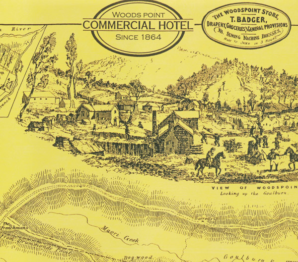
1864 Map of Wood’s Point and District
Map of the Mining District of Wood’s Point. Arranged as a guide for the use of Miners, Visitors and others in which the various creeks, spurs, tracks, reefs, leases, townships, dwellings, crushings, mills and sawpits are noted. Drawn from actual observation by J. E. Butler, Architect and Surveyor of Wood’s Point in 1864.
The map is A2 in size and only comes flat not folded. It is printed on 157gsm glossy film laminate art paper.
Approximate Size 595 x 420mm
Read More