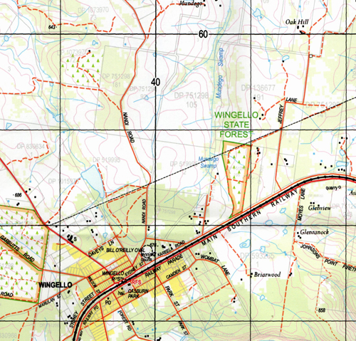
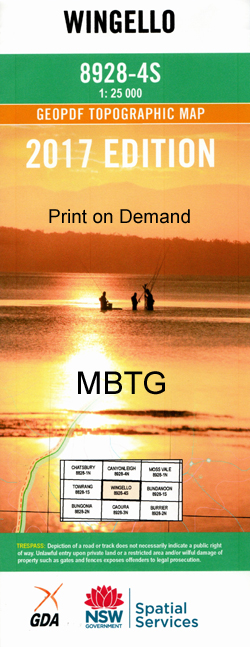
Wingello 1-25,000 NSW Topographic Map
$16.95 – $31.95
Description:
8928-4-S Print on Demand
Locations within this Map
Marulan Wingello Back Creek Ballanya Ballanya Hill Barber Barbers Creek Baronga Creek Dairy Flood Freestone Georges Creek Glenrock Glenrock Falls Gulf Creek Hanging Rock Swamp Jaorimin Creek Joe The Marines Folly Creek Joariwa Creek Marulan Creek Marulan Post Office Marulan Public School Marulan Railway Station Medway Junction Mooroowoolen Mundego Swamp Murphy Murrimba Ottawa Creek Oven Swamp Creek Paddys River Patricks River Penrose Penrose Public School Penrose Railway Station Penrose State Forest Plantation Gully Running Creek Shepherd Sugarloaf Hill The Sugar Loaf Tallong Tallong Public School Tallong Railway Station Tallowa Gorge Tallowa Gully Tangarang Creek Twin Uringalla Uringalla Creek Warrima Wildfire Gully Wingello Forest Wingello Public School Wingello Railway Station Wingello Reserve Wingello State Forest Woolshed Creek Bull Point Creek Bull Point Gully Bumballa Casburn Park Stingray Swamp Stingray Swamp Flora Reserve Hanging Rock Penrose South Tahalla
| Name: | Wingello |
| Publisher: | New South Wales Government |
| Scale: | 1:25000 |
| Latitude Range: | 34° 37.5′ S – 34° 45.0′ S |
| Longitude Range: | 150° 0.0′ E – 150° 15.0′ E |
| Datum: | GDA 94 |
| Approx Print Size: | 0.56m X 1.11m |


