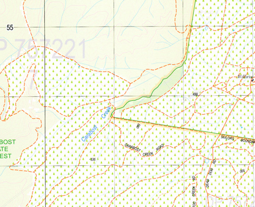
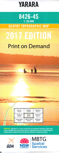
Yarara 1-25,000 NSW Topographic Map
$16.95 – $31.95
Description:
8426-4-SPrint on Demand
Locations within this Map
Back Creek Billabung Black Hill Branch Creek Carabost Chinamans Gap Coocook Coppabella Coppabella Creek Lake David Dead Dog Creek Four Mile Jocks Mountain Jocks Mount Lankey Lankeys Creek Lookout Hill The Lookout Pennyweight Creek Shingle Creek Short Creek Short Gully Springdale Creek The Stoney Gully Stony Creek Part Of The Stony Creek Stony Gully Two Mile Creek Vyners Creek Wantagong Creek Yallock Yarara Yarara Creek Yarra Yarra Creek Yarara Gap Carabost State Forest Stony Creek
| Name: | Yarara |
| Publisher: | New South Wales Government |
| Scale: | 1:25000 |
| Latitude Range: | 35° 37.5′ S – 35° 45.0′ S |
| Longitude Range: | 147° 30.0′ E – 147° 45.0′ E |
| Datum: | GDA 94 |
| Approx Print Size: | 0.56m X 1.11m |
Read More


