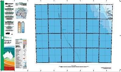
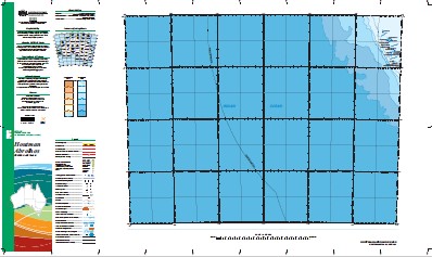
Houtman Abrolhos 1-1,000,000 Topographic Map Geoscience Australia
$16.95 – $28.95
Description:
Houtman Abrolhos 1-1,000,000 Topographic Map Geoscience Australia
1: 1 Million General Reference Topographic Map Print on Demand
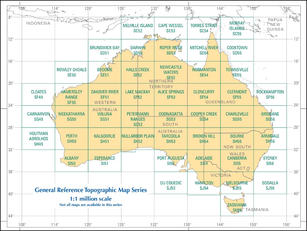
This map is part of a series which comprises 50 maps which covers the whole of Australia at a scale of 1:1 000 000 (1cm on a map represents 10km on the ground). Each standard map covers an area of 6 degrees longitude by 4 degrees latitude or about 590 kilometres east to west and about 440 kilometres from north to south. These maps depict natural and constructed features including transport infrastructure (roads, railway airports), hydrography, contours, hypsometric and bathymetric layers, localities and some administrative boundaries, making this a useful general reference map.
Pelsaert Brouwer Houtman Canyon Brouwer Seamount Geraldton Canyon Pelsaert Canyon Pelsaert Seamount Perth Abyssal Plain Perth Basin Wallabi Canyon 1 Island 2 Island 3 Island 7 Island 8 Island Acute Bank Akerstrom Island Alcatraz Island Alexander Island Assail Bank Bankeena Barge Rock Barker Passage Basile Island Batavia Road Batavia Wreck Beacon Island Beagle Knoll Ben Ledi Wreck Blowfish Point Burnett Island Burton Island Bushby Island Bynoe Island Campbell Island Coronation Anchorage Coronation Island Coronation Passage Crake Island Crazy Corner Dakin Island Dart Shoal Davis Island Dick Island Disappearing Island Diver Island Dog Rock Dry Island Eagle Hill Eagle Point East Wallabi Island Easter Group Eastern Island Eastern Islands Eastern Passage Evening Reef Far Island First Sister Fish Hook Bay Fish Point Flag Hill Gaze Island Gazes Camp Gee Bank Geelvink Channel Gibson Island Gilbert Island Good Friday Bay Goss Passage Gun Island Half Moon Reef Hall Island Hedda Wreck Helms Island Horseyard Bay Houtman Abrolhos Houtman Abrolhos Nature Reserve Joe Smith Island John Moresby Bank Jon Jim Island Keru Island Lagoon Island Latitude Hill Leo Island Little North Island Little Pigeon Island Little Rat Island Little Roma Island Long Island Mangrove Group Marinula Island Middle Channel Middle Island Morley Island Morning Reef Murray Island Newman Island Noon Reef North East Reef North Island Numbered Islands Oyster Cliffs Oystercatcher Island Pelican Island Pelican Point Pelsaert Group Pelsaert Island Pelsaert Lagoon Pigeon Island Pigeon Island Anchorage Plover Island Post Office Island Rat Island Record Hill Recruit Bay Rolland Passage Roma Island Rotondella Island Sandy Island Sandy Island Passage Saville-Kent Island Seagull Island Seal Island Second Sister Serventy Island Shag Bay Shag Rock Shearwater Island Shelter Reef Shelter Reef Passage Ship Rock Sid Liddon Island Slaughter Point Snake Flat South Passage Square Island Stick Island Stokes Island Suda Bay Passage Suomi Island Sweet Island Tapani Island Tattler Bay Tattler Island The Big Breaker The Channel The Flat The Gap The Horseshoe The Lagoon The Portacello Third Sister Traitors Island Travia Island Trigg Lump Turnstone Island Turtle Bay Uncle Margie Island Wader Lagoon Wallabi Group Wann Island Webbie Hayes Bay West Reef West Wallabi Island White Bank White Island Williams Anchorage Windsor Boiler Wooded Island Wooded Island Passage Wreck Point Zeewijk Channel Zeewijk Wreck North Islet Lumley Island Point Banks West Wallabi Islet Seventy Island Houtman Rocks Houtmans Abrolhos Graveyard Island Disapperaring Island Zeewyk Channel Fantome Shoal Gun Islet Pelsart Group Middle Islet Pelsart Island Pelsart Islet Wreck Island Ant Island
| Name: | Houtman Abrolhos |
| Publisher: | Geoscience Australia (Australian Government) |
| Scale: | 1:1000000 |
| Latitude Range: | 28° 00.0′ S – 32° 00.0′ S |
| Longitude Range: | 108° 0.0′ E – 114° 0.0′ E |
| Projection / Datum: | Lambert Conformal Conic, GDA94 |
| Approx Print Size: | 0.44m X 0.67m |
| Publication Date: | 2013 |


