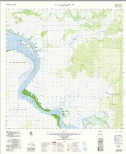

Alligator Point 1-50000 Topographic Map 4971-2 NT
$14.95
Description:
Alligator Point 1-50000 Topographic Map 4971-2 NT Print on Demand 1983 Edition
Locations within this Map
Alligator Point Canteen Creek Cleanskin Swamp Daly River Darkies Hole Flying Fox Creek Johns Creek Moon Billabong Overflow Creek Palmerston Island Reynolds River Langdan Holly Springs Fish Creek Gumpa Spring
| Name: | Alligator Point |
| Publisher: | Geoscience Australia (Australian Government) |
| Scale: | 1:50000 |
| Latitude Range: | 13° 15.0′ S – 13° 30.0′ S |
| Longitude Range: | 130° 15.0′ E – 130° 30.0′ E |
| Projection / Datum: | Universal Transverse Mercator, GDA94 or WGS84 |
| Approx Print Size: | 0.56m X 0.56m |
| Publication Date: | 1-Jun-83 |
Read More