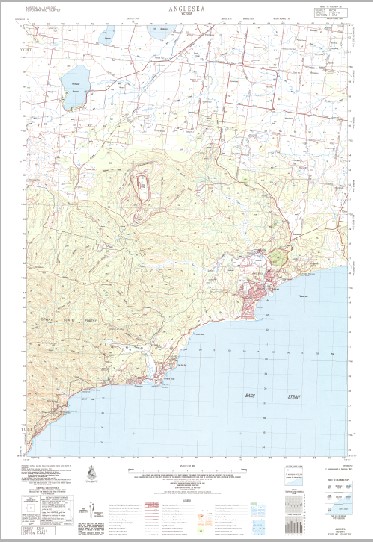
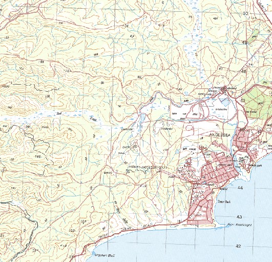
Anglesea 1-50000 Topographic Map 7721-3 VICTORIA 1981 Edition
$14.95
Description:
Anglesea 1-50000 Topographic Map 77213 VIC now Print on Demand 1981 Edition
Locations within this Map
Ellenbrae Aireys Inlet-Fairhaven Anglesea Aireys In let Anderson Creek Angahook Anglesea Police Station Anglesea Primary School The Deep Gully Bald Hills Berthon Hill Big Hill Big Hill Creek Black Rock Boonah Breakfast Creek Brown Swamp Point Castries Coalmine Creek Currawong Falls Demons Bluff Ferntree Gully Eagles Nest Reef Eagle Rock Edwards Creek Eumeralla Memorial Scout Camp Gentle Annie Hill Gentle Annie Track Gherang Gherang Grassy Creek Green Hill Gum Flat Hutt Gully Ingoldsby Reef Ironbark Gorge Ironbark Spur Jan Juc Lake Gherang Lookout Hill Lorne-Aireys Inlet P-12 College Aireys Inlet Campu Louise Falls Melaleuca Swamp Modewarre Fire Station Modewarre Primary School Modewarre Public Hall Modewarre Recreation Reserve Moggs Creek Mount Ingoldsby Otway State Forest Painkalac Creek Painkalac Dam Paraparap Peters Hill Pinchgut Hill Roadnight Point Point Roadknight Telephone Exchange Scrubby Hill Soapy Rock Split Point Spout Creek Stony Ridge Surf Coast Shire Table Rock Tea Tree Creek The Fern Grove Tutegong Urquhart Bluff Wensleydale Wilkson Spur Wormbete Wurdale Fire Station Wurdale Public Hall Wurdiboluc Reservoir Modewarre Wurdiboluc Point Addis Anglesea River Fairhaven
| Name: | Anglesea |
| Publisher: | Geoscience Australia (Australian Government) |
| Scale: | 1:50000 |
| Latitude Range: | 38° 15.0′ S – 38° 30.0′ S |
| Longitude Range: | 144° 0.0′ E – 144° 15.0′ E |
| Projection / Datum: | Universal Transverse Mercator, GDA94 or WGS84 |
| Approx Print Size: | 0.56m X 0.56m |
| Publication Date: | 1-Jun-81 |


