Atlanta Map Rand McNally
$19.95
1 in stock
Description:
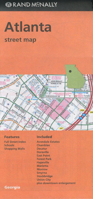
Atlanta Map Rand McNally
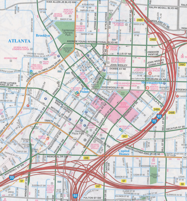
Rand McNally’s folded map for Atlanta is a must-have for anyone traveling in and around this part of Georgia, offering unbeatable accuracy and reliability at a great price. Our trusted cartography shows all Interstate, U.S., state, and county highways, along with clearly indicated parks, points of interest, airports, county boundaries, and streets. The easy-to-use legend and detailed index make for quick and easy location of destinations. You’ll see why Rand McNally folded maps have been the trusted standard for years.
Regularly updated
Full-colour maps
Clearly labelled Interstate, U.S., state, and county highways
Indications of parks, points of interest, airports, county boundaries, schools, shopping malls, downtown & vicinity maps
Easy-to-use legend
Detailed & full street index
Convenient folded size
Coverage Area
Communities Included: Avondale Estates, Chamblee, Decatur, Doraville, East Point, Forest Park, Hapeville, Marietta, Morrow, Smyrna, Stockbridge, Union City plus downtown enlargement
- Publisher : Rand McNally; Fold Map edition (15 March 2017)
- Language : English
- Map : 2 pages
- ISBN-10 : 0528007890
- ISBN-13 : 9780528007897
- Dimensions : 10.49 x 0.64 x 22.86 cm