
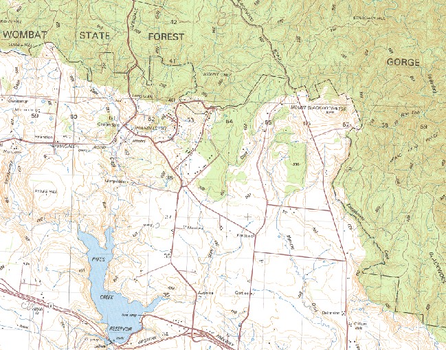
Bacchus Marsh 1-50000 Topographic Map 7722-1 VICTORIA 1986 Edition
Price range: $14.95 through $29.95
Description:
Bacchus Marsh 1-50,000 Topographic Map 77221 VICTORIA 1986 Edition
Print on Demand 1986 Geoscience Australia Edition (like the old Army Maps)
Locations within this Map
Fairfield Long Gully Bullengarook Park Tulvar Park Murrocdong Mundarra Glenpedder Merriwa Springbank Avonlea Gartlee Deloraine Glencairn Mungemannie Millside Oaklands Woodside Boonie Dale Springs Bank Braelands Morven Craigielea Yelleon Yarraloo Clearview Chesterfield Yaloak Vale High Plain Glenmore Greystones Stoneleigh Fairview Park Sunnyside Park Bacchus Marsh Ah Kow Gully Avenue Trig Bacchus Marsh Aerodrome Bacchus Marsh Secondary College Darley Campus Bacchus Marsh Secondary College Maddingley Campus Bacchus Marsh Magistrates Court Bacchus Marsh Memorial Hospital Bacchus Marsh Police Station Bacchus Marsh Primary School Ballan Bears Head Range Blackwood Ranges Blue Gully Brisbane Range Cataract Creek Clearwater Gully Cockatoo Creek Coimadai Pyrites Creek Coimadai Primary School Cowan Gully Craig Hill Dales Creek Darley Darley Primary School Dogtrap Gully Eddie Toole Place Garibaldi Hill Golden Creek Goodmans Creek Gorge Walk Gorong Gorrock Gorrockburkghap Green Hills Greendale Hill Hogan Flat Knock Em Down Gully Korjamnunnip Creek Korkuperrimul Korkuperrimul Creek Lerderderg Gorge Lerderderg Gorge Forest Park Lerderderg River Long Forest Flora Reserve Long Point Lowes Hill Maddingley Park Merrimu Merrimu Dam Merrimu Reservoir Monument Gully Mount Blackwood Mount Darriwill Mount Grey Myrniong Myrniong Creek Myrniong Fire Station Myrniong Primary School Myrniong Public Hall Myrniong Telephone Exchange Nolan Gully Nuggetty Gully Parwan Parwan Creek Pentland Hills Pentland Primary School Pykes Creek Dam Pykes Creek Reservoir Pykes Hill Pyrites Rowsley Rowsley Public Hall Rowsley Telephone Exchange Rupert Vance Moon Reserve Scotties Gully Spring Creek St Annes Winery Strachan Hill Tabletop The Bluff The Island The Old River Upsall Hill Watties Gully Werribee Gorge Werribee Gorge National Park Whisky Gully Bullengarook Greendale Pikes Creek Reservoir Ingliston Maddingley
| Name: | Bacchus Marsh |
| Publisher: | Geoscience Australia (Australian Government) |
| Scale: | 1:50000 |
| Latitude Range: | 37° 30.0′ S – 37° 45.0′ S |
| Longitude Range: | 144° 15.0′ E – 144° 30.0′ E |
| Projection / Datum: | Universal Transverse Mercator, GDA94 or WGS84 |
| Approx Print Size: | 0.56m X 0.56m |
| Publication Date: | 1-Jun-86 |
You may also like…
-
Bacchus Marsh 1-50000 Geological Map Victoria
Price range: $20.00 through $35.00Select options This product has multiple variants. The options may be chosen on the product page -
Bacchus Marsh 1-50,000 Vicmap
Price range: $12.00 through $24.00Select options This product has multiple variants. The options may be chosen on the product page -
Bacchus Marsh Melbourne 1-100,000 Vicmap Topo Map
Price range: $12.00 through $24.00Select options This product has multiple variants. The options may be chosen on the product page -
Melbourne 1-250,000 Topographic Map
Price range: $15.95 through $30.95Select options This product has multiple variants. The options may be chosen on the product page