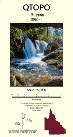
Bilyana 1-50,000 Queensland Topographic Map
$15.95 – $30.95
Description:
Locations within this Map
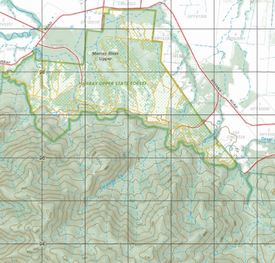
Kennedy Alma Creek Mount Alma Attie Creek Baird Creek Banyan Creek Barretts Lagoon Bellenden Plains Bilyana Black Lagoon Boggy Camp Creek Boongarri Creek Brick Creek Camp Creek Mount Carruchan Corduroy Creek Czar Creek Dallachy Dallachy Creek Davidsons Landing Deep Creek Double Barrel Creek Douglas Creek Dowse Rocks Dundonald Creek Dunn Creek Gillespie Creek Hinkler Falls Mount Hosie Jacky Jacky Creek Kennedy Creek Lily Creek Meunga Murray Falls Murray River Upper Murrigal North Murray River Numbal Mount Pershouse Pungi Creek Racecourse Creek Red Hill Riversdale Rockingham Running Creek Scrubby Creek Skardon Crossing Mount Smoko Spring Creek Mount Sullivan Sunbeam Creek Ten Mile Creek The Bluff The Rocks Tuckers Lookout Tyson Warringha Weiss Creek Whitfield Creek Windy Post Woodfield Creek Mount Wyruna Yellow Waterhole Yuccabine Creek Djilgarin Conservation Park Edmund Kennedy National Park Euramo Murray Upper National Park Meunga Forest Reserve Carruchan Ellerbeck Murray Upper Warrami King Ranch Goddard Creek Alma Gap Cardwell Range Elphinstone Range
| Publisher: | Queensland Government |
| Scale: | 1:50000 |
| Latitude Range: | 18° 00.0′ S – 18° 15.0′ S |
| Longitude Range: | 145° 45.0′ E – 146° 0.0′ E |
| Projection / Datum: | Universal Transverse Mercator, GDA 94 |
| Approx Print Size: | 0.56m X 0.56m |


