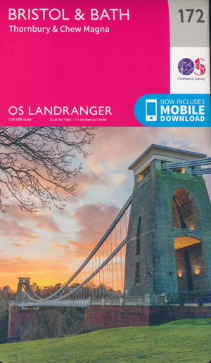


Bristol Bath Landranger 172 Ordnance Survey
$32.95
1 in stock
Description:
Bristol Landranger 172 Ordnance Survey
The Landranger map of Bristol & Bath, including Thornbury & Chew Magna, is a must-have when planning a trip to the area. Landranger maps are perfect for extensive hikes, cycling, and driving holidays.
Ideal for planning days out or holidays to Bath, a world heritage site and beautiful Georgian city on the River Avon. Other highlights of this map include Bristol, the Southern end of the Cotswolds Way and the Roman Baths — the highlight of the city of Bath.
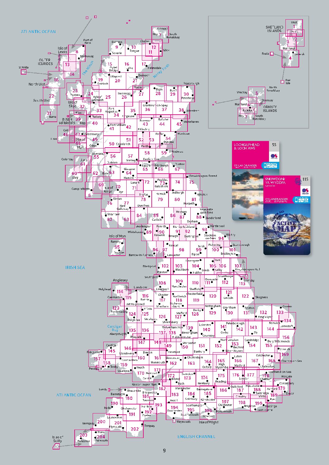
The OS Landranger Map series covers Great Britain with 204 detailed maps, perfect for day trips and short breaks.
Each map provides all the information you need to get to know your local area and includes places of interest, tourist information, picnic areas and camp sites, plus Rights of Way information for England and Wales.
We can order these Landranger maps from an overseas supplier.
Landranger 1:50 000 scale
Every 2cm is 1km, which means less detail but more area covered, while still including key elements such as footpaths, rights of way, and tourist information and ideal for Family Tree Research.
Highly detailed contour mapping highlighting variations in terrain and everything you would expect from a map
Towns included on this map:-
Bristol, Bath, Thornbury, Westerleigh, Chew Magna, Chipping Sodbury, Farmborough, Clutton, Blagdon Lake, Pucklechurch, Almondsbury, Wickwar, Frampton Cotterell, Kingswood, Keynsham & Felton.
ISBN 9780319262702
We order these Landranger maps from an overseas supplier.
Please allow 4-6 weeks for delivery into stock.
Standard Publication Date: 16/04/2021