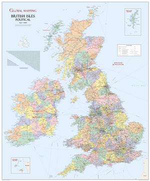
British Isles Map Global Mapping Laminated
Description:
Political wall map of The British Isles map by Global Mapping is ideal for the office enviroment.
Stunning wall map and for once Ireland is shown in its correct geographical position! This unique British Isles map features political colouring along with detailed distance chart. Definitive first level administrative boundary lines for the UK.
Paper
Scale:1:1,000,000
Size : 914mm x 1105mm (36″ x 43.5″)
Read More

