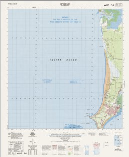
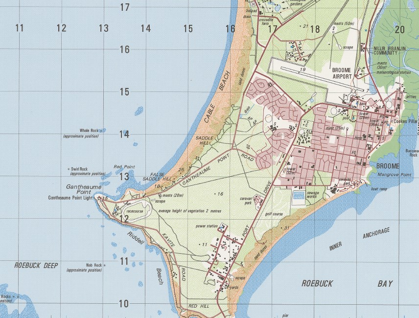
Broome 1-50000 Topographic Map 3362-3 WA
$14.95
Description:
Broome 1-50000 Topographic Map 3362-3 WA Print on Demand 1997 Edition
Locations within this Map
Broome Anastasias Pool Bedford Park Bilgungurr Community Billignuru Brolga Park Broome Airport Broome Community Health Services Broome Golf Club Broome Primary School Broome Senior High School Buccaneer Rock Buckleys Bore Burrgugun Community Cable Beach Cable Beach Primary School Cable Beach Reserve Cape Latreille Chippindall Park Cookes Pillar Cygnet Park Dakas Park Declaration Rock Demco Park Djugun Escape Rocks False Saddle Hill Gantheaume Point Gantheaume Point Light Goolarabooloo Community Horsewater Soak Inner Anchorage Jarangar Jones Place Kennedys Cottage Kimberley Camp School Kimberley Region Lawrence Park Lookout Hill Mackie Park Mallingbar Community Mamabulanjin Community Mangrove Point Maritana Park Mcmahon Reserve Melaleuca Miller Park Minyirr Nab Rock Nillir Irbanjin Community North Rock Peter Haynes Reserve Pioneer Cemetery Planigale Park Poinciana Well Reactor Lodge Red Hill Red Point Riddell Beach Riddell Point Roebuck Bay Golf Club Roebuck Deep Roebuck Primary School Saddle Hill Sam Male Reserve Sayonara Park Sibosado Park Solway Park St Marys College Station Hill Sugar Glider Park Sunset Park Swirl Rock Tolentino Park Town Beach Reserve Two Wells Waterbank Whale Rock Willagree Park Willie Creek Willie Creek Pearl Farm Woods Park Cary Patch Willy Creek Hill Hill Station Red Bluff Low Point Gantheaume Bay Duncan Well Station Head Paterson Well One Mile Tank Dampier Creek Escape Rock Cape Huygens Pearl Shoals Bittern Rock Broome Harbour Beacon Hill Beacon Head
| Name: | Broome |
| Publisher: | Geoscience Australia (Australian Government) |
| Scale: | 1:50000 |
| Latitude Range: | 17° 45.0′ S – 18° 00.0′ S |
| Longitude Range: | 122° 0.0′ E – 122° 15.0′ E |
| Projection / Datum: | Universal Transverse Mercator, GDA94 or WGS84 |
| Approx Print Size: | 0.56m X 0.56m |
| Publication Date: | 1-Jun-97 |


