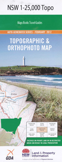
Burragate 1-25,000 NSW Topographic Map
Price range: $16.95 through $28.95
Description:
Burragate1-25,000 scale NSW Topographical map is used for Walking, 4WD, Fishing, Camping, Motorcycle, both On and Off Road, Gold Prospecting and for those simply going for a family weekend drive.
Topographical maps show not only Contours of the Terrain but also Walking Tracks, Sealed and Unsealed Roads, Rivers, Creeks, Lakes, Historical Point of Interest, Old Mine Sites and National mbtg and State Parks
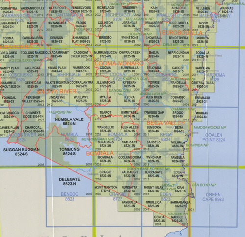
Locations within this Map
Back Creek Bens Creek Bills Creek Boyd Camping Ground Creek Egan Peaks Nature Reserve Imlay Letts Creek Letts Mountain Lower Towamba Mitchells Creek Pericoe Pericoe Creek Rocky Water Hole Stoney Creek Stony Creek Sturt Cemetery Village of Sturt Towamba Towamba Cemetery Towamba Public School Towamba State Forest Towamba Village Of White Gum Flat Wog Wog River Burragate Pericoe Flora Reserve Reedy Creek Flora Reserve Egan Peaks Burragate Peak
| Scale: | 1:25000 |
| Latitude Range: | 37° 00.0′ S – 37° 7.5′ S |
| Longitude Range: | 149° 30.0′ E – 149° 45.0′ E |
| Datum: | GDA 94 |
| Approx Print Size: | 0.56m X 1.11m |
| Publication Date: | 2013 |