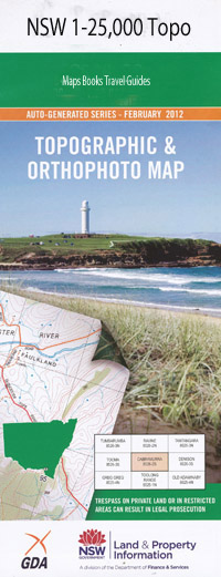
Brunswick Heads 1-25,000 NSW Topographic Map
Price range: $16.95 through $31.95
Description:
Locations within this Map
Coral Grove Brunswick Heads Ocean Shores Andersons Hill Andersons Ridge Belongil Swamp Billinudgel Brunswick Brunswick Dip Brunswick Heads Post Office Brunswick Heads Public School Brunswick New Chincogan Chincogan Dip Cord Dip Everitts Hill Hainsville Dip Heath Dip Hilans Corner Joyce Dip Julian Julian Rocks Nature Reserve Kennedys Lane Dip Juan Rocks Julia Rocks Kings Creek Midjimbil Creek Midjimbil Dip Mullumbimby High School Mullumbimby Post Office Mullumbimby Public School Mullumbimby Railway Station Myocum Myocum Public School Myocum Railway Station New Brighton Pilgrim Memorial Park Pine Tree Dip Pipeclay Creek Quarry Siding Saddle Road Dip Saltwater Creek Simpsons Creek Smokey Valley Smoky Valley South Arm Brunswick River The Heath Tyagarah Dip Tyagarah Landing Ground Tyagarah Railway Station Tom Kendall Park Black Rock Julian Rocks Tyagarah Mullumbimby Flowers Park Brunswick Heads Nature Reserve Binya Park Shipway Lookout Yallakool Park Carramar Park Devines Hill Richardson Lions Lookout Belongil Beach South Beach Park Stan Robinson Park Marshalls Creek Brunswick Rock Midjumbil Creek South Arm of Brunswick River North Arm Brunswick River Middle Arm Brunswick River Brunswick River Mullumbimby Creek Lone Pine Ascot The Elms The Summit Byron Shire Juan and Julia Island Juan and Julia Rocks
| Scale: | 1:25000 |
| Latitude Range: | 28° 30.0′ S – 28° 37.5′ S |
| Longitude Range: | 153° 30.0′ E – 153° 45.0′ E |
| Datum: | GDA 94 |
| Approx Print Size: | 0.56m X 1.11m |
Laminate and folded this NSW Topographical map, $12.00 see below.