
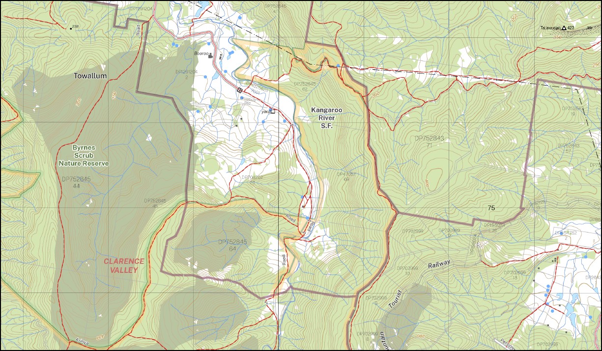
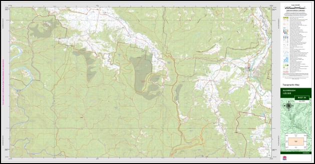
Glenreagh 1-25,000 NSW Topographic Map 9437-1-N
Price range: $16.95 through $28.95
Description:
Glenreagh 1-25,000 NSW Topographic Map 9437-1-N
Locations within this Map
Toora Anloudan Hillview Glenreagh Back Creek Bagawa Bagawa State Forest Bald Knob Black Swamp Creek Black Mountain Range Black Mountain Ridge Black Mountain Creek Black Mountain Devils Face Glenreagh Creek Glenreagh Public School Glenreagh Railway Station Jesse Smith Kangaroo River Kangaroo River State Forest Fern Creek Kangaroo Creek Kangaroo Creek State Forest Kremnos Creek Little Sandy Creek Lurcock Creek Oaky Creek Pilots Knob Sandy Creek Sheep Station Creek Tallawudjah Timber Top Towallum Towallum Creek Towallum River Tulipwood Flora Reserve Walters Creek Twelve Sixty Flora Reserve Tallonagal Creek Tallawudjah Creek Little Nymboida River Coldwater Creek Timbertop Bushmans Range
| Scale: | 1:25,000 |
| Latitude Range: | 30° 0.0′ S – 30° 7.5′ S |
| Longitude Range: | 152° 45.0′ E – 153° 0.0′ E |
| Datum: | GDA 2020
Edition 2025 |
| Approx Print Size: | 0.56m X 1.11m |
You may also like…
-
Moleton 1-25,000 NSW Topographic Map 9437-1-S
Price range: $16.95 through $28.95Select options This product has multiple variants. The options may be chosen on the product page -
Dorrigo 1-25,000 NSW Topographic Map 9437-3-N
Price range: $16.95 through $28.95Select options This product has multiple variants. The options may be chosen on the product page -
Bellingen 1-25,000 NSW Topographic Map 9437-2-S
Price range: $16.95 through $28.95Select options This product has multiple variants. The options may be chosen on the product page