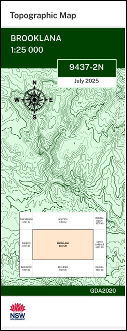


Brooklana 1-25,000 NSW Topographic Map 9437-2-N
Price range: $16.95 through $28.95
Description:
Brooklana 1-25,000 NSW Topographic Map 9437-2-N
Locations within this Map
Orange Grove Brooklana Echo Ridge Pine Ridge L-L Ranch Sally Park Beechwood Park Aurania Anscombes Hill Adams Creek Bangalore Creek Betts Creek Black Snake Creek Boggy Creek Boggy Gully Bonville Peak Boys Creek Boys Gully Breakfast Creek Breakfast Gully Brooklana State Forest Callicoma Falls Camp Falls Camp Gully Casuarina Falls Cedar Falls Coachwood Falls Collins Gully Coopernook Creek Crossmaglen Crossmaglen Public School Cunninghams Gully Currens Creek Dairyville Endiandra Creek MBTG Euroka Creek Eve Creek Fachneys Ridge Ferntree Creek Frontage Creek Garvins Gully Gleniffer Falls Mount Goobergooberyam Grassy Creek Hacks Creek Hauler Gully Kalumbundah Creek Camp Creek Collins Creek Cunninghams Creek Killungoondie Plain Killungoondie State Forest Kingianum Falls Kirtons Creek Kooralbyn Creek Korata Creek Lanes Lookout Last Effort Falls Leigh Leigh Public School Leigh Railway Station Little Promised Land Creek Mackays Creek Mathews Creek Megan Megan Falls Megan Public School Megan Railway Station Mirrong Falls Moombil Mount Moombil Never Never Never Never River Never Never Creek Never Never Picnic Area North Creek Oreocallis Creek Oreocallis Gully Pee One P 1 Pee Two P 2 Pine Creek Pine Gully Pipinpingah Creek St Johns Creek Promised Land Promised Land Creek Rocky Creek Rocky Crossing Rocky Gully Rocky Peak Mount Roogatargah St George Creek St George Gully St Marys Creek St Patricks Creek St Peters Creek St Peters Gully Sassafras Creek Shingle Bed Creek Stewart Suicide Sweet Water Creek Syndicate Ridge MBTG Tallowwood Point Timboon Try Again Falls Tucker S Knob Tucker S Knob State Forest Tuckers Nob Tucker’s Nob Tuckers Nob State Forest Tucker’s Nob State Forest Upper Bobo Uralba Creek Uralba Gully Urumbilum River Wash House Creek Wayper Creek Wild Cattle Creek Wind Wind Creek Mount Wondurrigah Wongawanga Wonga Wanga Flora Reserve Yapo Creek Dibbs Head Dingo Creek Dome Mountain Downfall Creek Burgess Creek Upper Orara Briggsvale Brooklana Station Leigh Station Tuckers Nobs
| Scale: | 1:25,000 |
| Latitude Range: | 30° 15.0′ S – 30° 22.5′ S |
| Longitude Range: | 152° 45.0′ E – 153° 0.0′ E |
| Datum: | GDA 2020
Edition 2025 |
| Approx Print Size: | 0.56m X 1.11m |
You may also like…
-
Moleton 1-25,000 NSW Topographic Map 9437-1-S
Price range: $16.95 through $28.95Select options This product has multiple variants. The options may be chosen on the product page -
Clouds Creek 1-25,000 NSW Topographic Map
Price range: $16.95 through $31.95Select options This product has multiple variants. The options may be chosen on the product page -
Glenreagh 1-25,000 NSW Topographic Map 9437-1-N
Price range: $16.95 through $28.95Select options This product has multiple variants. The options may be chosen on the product page -
Bellingen 1-25,000 NSW Topographic Map 9437-2-S
Price range: $16.95 through $28.95Select options This product has multiple variants. The options may be chosen on the product page -
Dorrigo 1-25,000 NSW Topographic Map 9437-3-N
Price range: $16.95 through $28.95Select options This product has multiple variants. The options may be chosen on the product page