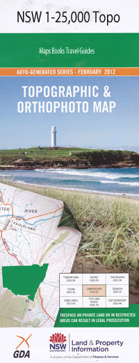
Galong 1-25,000 NSW Topographic Map
$16.95 – $31.95
Description:
8628-4-N Print on Demand
Locations within this Map
Galong Back Creek Barwang Creek Bobbara Boorowa Flat Creek Eubindal Eubindal Creek Five Mile Creek Four Mile Creek Galong Public School Galong Railway Station Gooramma Grimes Creek Harris Lagoon Hawk Hill Goorama Limestone Creek Mackays Creek Regans Lagoon Rocky Ponds Railway Station Rocky Ponds Creek Rosary Rosary Hill Six Mile Creek Spring Creek Stony Creek Dirt Hole Gully Douglas Creek Dirt Hole Creek Lang Creek Langs Creek Longs Creek Noongah Nannong Beaulambil Sinkers Creek Saint Clements Rocky Ponds Kangiara Kangiara Creek Kiangra Creek
| Name: | Galong |
| Publisher: | New South Wales Government |
| Scale: | 1:25000 |
| Latitude Range: | 34° 30.0′ S – 34° 37.5′ S |
| Longitude Range: | 148° 30.0′ E – 148° 45.0′ E |
| Datum: | GDA 94 |
| Approx Print Size: | 0.56m X 1.11m |
Read More

