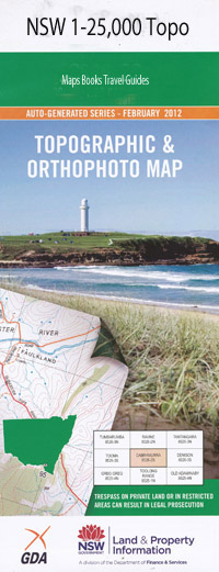
Aberdeen 1-25,000 NSW Topographic Map
Price range: $16.95 through $31.95
Description:
Aberdeen 90331s 1-25,000 scale NSW Topographical map is used for Walking, 4WD, Fishing, Camping, Motorcycle, both On and Off Road, Gold Prospecting and for those simply going for a family weekend drive.
Topographical maps show not only Contours of the Terrain but also Walking Tracks, Sealed and Unsealed Roads, Rivers, Creeks, Lakes, Historical Point of Interest, Old Mine Sites and National and State Park areas.
This map includes the following localities: Lyndale Aberdeen A.F. Taylor Park Aberdeen Post Office Aberdeen Public School Aberdeen Railway Station Balmoral Bare Hill Bells Mountain Brisbane Broad Crossing Brookfield Browns Mountain castle Gap Castle Rock Castlerock Castle Rock Peak Clanricard Coal Creek Coffin Gully Colonel Mountain Cox Dangarfield Dangarfield Post Office Dangar Park Dartbrook Dartbrook Public School Deadmans Gully Durham Ellis Halscot Hanging Rock Jefferson Park Kayuga Castlerocks The Colonel The Island Knob Hill The Knob Koolbury Kyuga Lions Park Logans Mountain The Lookout Macqueen McCullys Gap Mccullys Gap Post Office Mccullys Gap Public School Maryvale Moobie Creek Muswellbrook Cemetery Muswellbrook Public School Negoa Page Mountain Pastoral Mount Pleasant St Hilliers Brook Redmount Rosebrook Creek Rosscole Rossgole Lookout Rouchel Brook Rouchel Gully Rowan Russell Russell Island Rutherford Park Sandy Creek Segenhoe Segenhoe Mountain Smearers Hill Spring Gully Strathearn Sugarloaf Taylor Park Thunderbolt Thunderbolt Mountain Victoria Park Well Gully Dorset Dirty Gully
| Scale: | 1:25000 |
| Latitude Range: | 32 07.5 S – 32 15.0 S |
| Longitude Range: | 150 45.0 E – 151 00.0 E |
| Approx Print Size: | 0.56m X 1.11m |
| Projection: | Transverse Mercator |
